Old Maps of Ranson, West Virginia
Explore 49 old maps of Ranson, spanning from 1884 to today. These high-resolution historic maps reveal how streets, neighborhoods, landmarks, and natural features evolved over time — perfect for genealogy, metal detecting, research, and local history exploration.
What you can do with these maps:
- See how Ranson changed over time: Compare historical maps to modern-day views to trace roads, homesites, rail lines & more.
- View detailed metadata: Each map includes creators, publishers, year, scale, and archive source.
- Overlay maps with satellite & LiDAR: Visualize the past alongside modern tools to explore terrain & human change.
- Trusted historical sources: Maps sourced from the USGS, Library of Congress, and other archives.
- Access maps your way: View online, download high-res files, or order prints for personal or research use.
Start exploring old maps of Ranson to uncover forgotten places, hidden landmarks, and the deep history beneath your feet.
Ranson, WV maps
(49)- 1884 Map of Harpers Ferry
 1884 Harpers Ferry1884 Print · USGSThe confluence of the Potomac and Shenandoah rivers is captured in the mid-1880s, documenting a landscape of strategic gaps and vital transit corridors. Researchers can trace the path of the Chesapeake and Ohio Canal and locate historic river crossings like Conrad Ferry and Castleman Ferry.
 - 1891 Map of Harpers Ferry
 1891 Harpers Ferry1891 Print · USGSThe tri-state borderlands of the Potomac and Shenandoah valleys were a vital hub of transport and trade in the late 1800s. Researchers can trace historic river crossings like Castlemans Ferry, follow the route of the Chesapeake and Ohio Canal, or locate family-named settlements like Oatlands and Taylorstown.
 - 1893 Map of Harpers Ferry, 1898 Print
 1893 Harpers Ferry1898 Print · USGSThe tri-state region of the Potomac and Shenandoah valleys is captured here in the late nineteenth century, showing a landscape defined by water and rail. Trace the historic Chesapeake and Ohio Canal or locate local landmarks like Snyder Mills and Harpers Ferry.7 unique versions available
 - 1914 Map of Martinsburg
 1914 Martinsburg1914 Print · USGSThe eastern panhandle of West Virginia comes alive in this survey, showing a landscape defined by the Potomac River and burgeoning rail hubs. Genealogists can trace family footprints through dozens of schools and churches, from Shepherdstown to the Snyder Hill Riverside School and John Browns Cave.3 unique versions available
 - 1916 Map of Martinsburg
 1916 Martinsburg1916 Print · USGSThe Eastern Panhandle of West Virginia comes to life in the years before the Great War, showing a bustling hub of rail activity and river commerce. Genealogists and historians can trace family roots through schoolhouses like Sutton School and old settlements such as Middleway and Summit Point.4 unique versions available
 - 1944 Map of Martinsburg
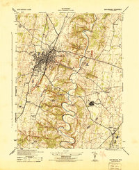 1944 Martinsburg1944 Print · USGSBerkeley County during the mid-forties reveals a landscape transitioning from traditional farming to wartime industrial and military activity. Researchers can trace family roots through the Dry Run Sunday School, locate the Newton D Baker General Hospital U S Army, and see the rail-side growth of Martinsburg.
 - 1944 Map of Shepherdstown
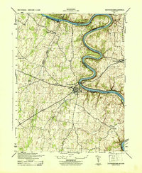 1944 Shepherdstown1944 Print · USGSShepherdstown and Sharpsburg sit on opposite banks of the Potomac during the mid-1940s, a landscape defined by the river’s deep meanders and the canal era. Trace the Chesapeake and Ohio Canal (Abandoned) and old rural landmarks like Millers Sawmill or Fairview School.
 - 1944 Map of Middleway
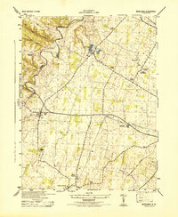 1944 Middleway1944 Print · USGSJefferson County at the height of the Second World War was a network of rural hamlets and rail lines. Genealogists and historians can trace family-named sites from Lower Johnsontown to Summit Point and the U S Fish Hatchery.
 - 1944 Map of Charles Town
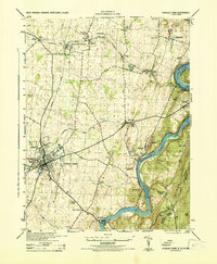 1944 Charles Town1944 Print · USGSThe Lower Shenandoah Valley comes alive mid-century as a hub of rail commerce and river industry. Trace family roots and local landmarks from Charles Town to the lime quarries of Bakerton, or locate rural sites like Zion Church and Skeetersville.
 - 1944 Map of Martinsburg, 1964 Print
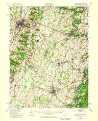 1944 Martinsburg1964 Print · USGSThe West Virginia Panhandle is captured during the mid-1940s, revealing a landscape of vital rail junctions and Potomac River crossings. Genealogists and historians can trace the foundations of Shepherdstown and Martinsburg, alongside landmarks like Martin Chapel and the Newton D Baker General Hospital.
 - 1948 Map of Baltimore
 1948 Baltimore1948 Print · USGSMaryland and Pennsylvania crossroads are captured in the late 1940s, showing a landscape defined by historic rail lines and major military installations. Genealogists can trace family connections in Gettysburg, Westminster, and near the U.S. Naval Academy in Annapolis.2 unique versions available
 - 1953 Map of Charles Town
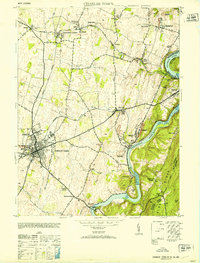 1953 Charles Town1953 Print · USGSJefferson County at mid-century centers on the rail junction of Charles Town and Ranson. Trace family roots at Zion Church or explore the industrial history of Millville and John Browns Cave.
 - 1953 Map of Shepherdstown, 1954 Print
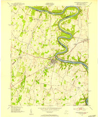 1953 Shepherdstown1954 Print · USGSThe Potomac River and its dramatic loops at Terrapin Neck define the border between West Virginia and Maryland in the early fifties. Genealogists and local historians can trace landmarks like Shepherd College, Antietam Station, and Marvin Chapel.4 unique versions available
 - 1954 Map of Baltimore
 1954 Baltimore1954 Print · USGSThe Mid-Atlantic region in the early fifties shows a landscape of growing suburban centers and heavy rail corridors. Trace mid-century transit networks and military landmarks from the Aberdeen Proving Ground to the Gettysburg National Military Park.
 - 1955 Map of Charles Town, 1956 Print
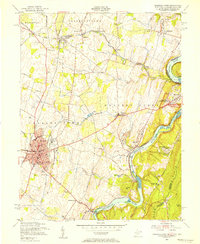 1955 Charles Town1956 Print · USGSThe West Virginia panhandle meets the Blue Ridge in the mid-1950s, where the great river forks converge. Researchers can trace the industrial corridor of the Baltimore and Ohio railroad or locate landmarks like John Browns Cave and Zion Church.2 unique versions available
 - 1955 Map of Martinsburg, 1957 Print
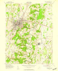 1955 Martinsburg1957 Print · USGSMid-century Martinsburg serves as a bustling hub of rail transport and medical infrastructure during this post-war period. Genealogists and local historians can trace family locations near Rosedale Cemetery, Eagle Chapel, or the U of W Va Experimental Farm.2 unique versions available
 - 1955 Map of Middleway, 1957 Print
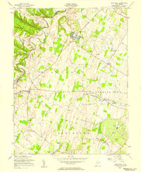 1955 Middleway1957 Print · USGSJefferson County's fertile valley floor is captured here in the mid-fifties, showing a landscape of established rail lines and historic crossroads. Genealogists and historians can locate the St Georges Chapel Ruins, the U S Fish Culture Station at Leetown, and the County Infirmary.3 unique versions available
 - 1956 Map of Baltimore
 1956 Baltimore1956 Print · USGSMid-century Maryland and Pennsylvania are captured here during a period of massive suburban and military growth across the Chesapeake region. Genealogists and historians can trace the rail corridors of the Baltimore & Ohio RR and locate landmarks like Fort McHenry or the Aberdeen Proving Ground.
 - 1957 Map of Baltimore, 1964 Print
 1957 Baltimore1964 Print · USGSMaryland and Southern Pennsylvania are shown during the mid-century expansion of the Baltimore-Washington corridor. Researchers can trace the extensive rail lines of the Baltimore & Ohio RR and locate sites like Fort Detrick and Gettysburg National Military Park.5 unique versions available
 - 1961 Map of Baltimore
 1961 Baltimore1961 Print · USGSMaryland and Pennsylvania are captured at a mid-century peak of industrial and military expansion. Genealogists and historians can trace rail corridors like the Western Maryland Ry or locate regional landmarks such as Camp Detrick and Kent Island.
 - 1978 Map of Charles Town, 1979 Print
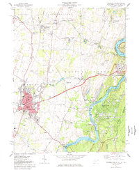 1978 Charles Town1979 Print · USGSEastern West Virginia’s river and rail crossroads come alive in this late-seventies survey of the historic Shenandoah Valley. Genealogists and historians can trace the tracks of the Baltimore and Ohio Railroad and find local sites like Zion Ch Cem and Clips Mill.5 unique versions available
 - 1978 Map of Middleway, 1979 Print
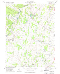 1978 Middleway1979 Print · USGSJefferson County in the late seventies remains a landscape of established rail lines and agricultural research. Local historians can trace the paths of the Baltimore and Ohio through Summit Point or locate the historic Harewood estate.2 unique versions available
 - 1978 Map of Shepherdstown, 1979 Print
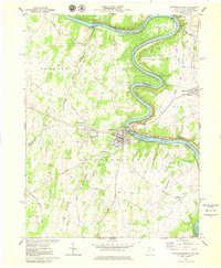 1978 Shepherdstown1979 Print · USGSThe Potomac River bends through this 1970s survey of the West Virginia-Maryland border near Shepherdstown. Researchers can trace the grounds of Shepherd College, the Antietam National Battlefield Site, and historic burial grounds like Elmwood Cem.2 unique versions available
 - 1979 Map of Martinsburg
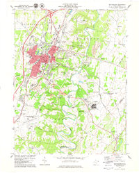 1979 Martinsburg1979 Print · USGSMartinsburg and the Opequon Creek valley are shown here in the late seventies during a period of rapid suburban and industrial growth. Researchers can find well-defined residential neighborhoods, old crossroads like Files Crossroad, and significant landmarks such as the U.S. Veterans Hospital and War Mem Park.
 - 1984 Map of Frederick, 1985 Print
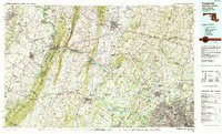 1984 Frederick1985 Print · USGSMaryland's Piedmont and the Potomac River valley are shown here in the mid-eighties as suburban growth began to meet historic rural landscapes. Genealogists and historians can trace the paths of the Baltimore and Ohio RR or locate the boundaries of Antietam National Battlefield and Fort Detrick.
Showing maps 1-25 of 49
Top cities near Ranson
- Martinsburg historical maps
- Purcellville historical maps
- Brunswick historical maps
- Charles Town historical maps
- Berryville historical maps
- Boonsboro historical maps
See more
Top neighborhoods of Ranson
Frequently asked questions
- What are the different types of historical maps available for Ranson?
- What is the oldest map of Ranson?
- Where can I purchase historical maps of Ranson for my home or office?
- Where can I download high-res historical maps of Ranson?
- Are there historical topographic maps available for Ranson?
- Is there historical aerial imagery available for Ranson?
- Where are historical maps of Ranson sourced from?