Old Maps of Manitowoc County, Wisconsin
Explore 44 old maps of Manitowoc County, spanning from 1954 to today. These high-resolution historic maps reveal how streets, neighborhoods, landmarks, and natural features evolved over time — perfect for genealogy, metal detecting, research, and local history exploration.
What you can do with these maps:
- See how Manitowoc County changed over time: Compare historical maps to modern-day views to trace roads, homesites, rail lines & more.
- View detailed metadata: Each map includes creators, publishers, year, scale, and archive source.
- Overlay maps with satellite & LiDAR: Visualize the past alongside modern tools to explore terrain & human change.
- Trusted historical sources: Maps sourced from the USGS, Library of Congress, and other archives.
- Access maps your way: View online, download high-res files, or order prints for personal or research use.
Start exploring old maps of Manitowoc County to uncover forgotten places, hidden landmarks, and the deep history beneath your feet.
Manitowoc County, WI maps
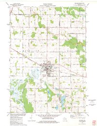
(44)- 1954 Map of Kewaunee, 1956 Print
 1954 Kewaunee1956 Print · USGSCovers Manitowoc County, including Kewaunee, Two Creeks, and other nearby areas2 unique versions available
 - 1954 Map of School Hill, 1956 Print
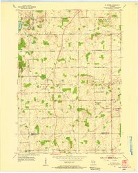
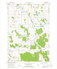
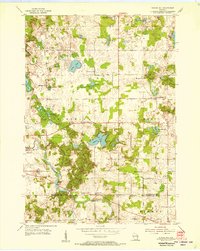 1954 School Hill1956 Print · USGSCovers Manitowoc County, including Kiel, Meeme, and other nearby areas2 unique versions available
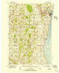
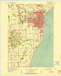
 - 1954 Map of Manitowoc, 1956 Print
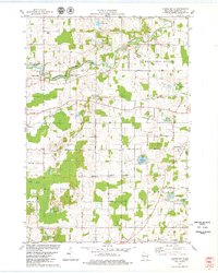
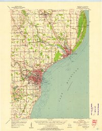 1954 Manitowoc1956 Print · USGSCovers Manitowoc County, including Manitowoc, Two Rivers, and other nearby areas2 unique versions available
 - 1954 Map of Cleveland, 1956 Print
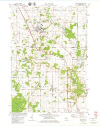
 1954 Cleveland1956 Print · USGSCovers Manitowoc County, including Newton, Cleveland, and other nearby areas3 unique versions available
 - 1954 Map of St. Wendel, 1956 Print
 1954 St. Wendel1956 Print · USGSCovers Manitowoc County, including Newton, Meeme, and other nearby areas3 unique versions available
 - 1954 Map of Sheboygan North, 1956 Print
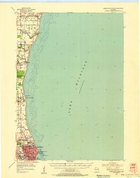 1954 Sheboygan North1956 Print · USGSCovers Manitowoc County, including Sheboygan, Newton, and other nearby areas
 - 1954 Map of Denmark, 1956 Print
 1954 Denmark1956 Print · USGSCovers Manitowoc County, including Green Bay, Allouez, and other nearby areas2 unique versions available
 - 1954 Map of Howards Grove, 1956 Print
 1954 Howards Grove1956 Print · USGSCovers Manitowoc County, including Sheboygan, Plymouth, and other nearby areas
 - 1954 Map of Chilton, 1956 Print
 1954 Chilton1956 Print · USGSCovers Manitowoc County, including Harrison, Chilton, and other nearby areas3 unique versions available
 - 1954 Map of Reedsville, 1956 Print
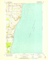
 1954 Reedsville1956 Print · USGSCovers Manitowoc County, including Manitowoc, Newton, and other nearby areas2 unique versions available
 - 1954 Map of Manitowoc, 1956 Print
 1954 Manitowoc1956 Print · USGSCovers Manitowoc County, including Manitowoc, Newton, and other nearby areas2 unique versions available
 - 1954 Map of Kiel, 1956 Print
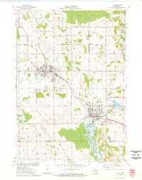
 1954 Kiel1956 Print · USGSCovers Manitowoc County, including Plymouth, New Holstein, and other nearby areas2 unique versions available
 - 1954 Map of Milwaukee, 1967 Print
 1954 Milwaukee1967 Print · USGSCovers Manitowoc County, including Milwaukee, West Allis, and other nearby areas3 unique versions available
 - 1954 Map of Manitowoc, 1968 Print
 1954 Manitowoc1968 Print · USGSCovers Manitowoc County, including Green Bay, Manitowoc, and other nearby areas2 unique versions available
 - 1955 Map of Green Bay, 1968 Print
 1955 Green Bay1968 Print · USGSCovers Manitowoc County, including Green Bay, Appleton, and other nearby areas2 unique versions available
 - 1957 Map of Madison, 1967 Print
 1957 Madison1967 Print · USGSCovers Manitowoc County, including Milwaukee, Madison, and other nearby areas3 unique versions available
 - 1958 Map of Manitowoc
 1958 Manitowoc1958 Print · USGSCovers Manitowoc County, including Green Bay, Manitowoc, and other nearby areas
 - 1958 Map of Milwaukee
 1958 Milwaukee1958 Print · USGSCovers Manitowoc County, including Milwaukee, West Allis, and other nearby areas
 - 1960 Map of Madison
 1960 Madison1960 Print · USGSCovers Manitowoc County, including Milwaukee, Madison, and other nearby areas2 unique versions available
 - 1974 Map of Kiel, 1977 Print
 1974 Kiel1977 Print · USGSCovers Manitowoc County, including New Holstein, Kiel, and other nearby areas
 - 1974 Map of Brillion, 1977 Print
 1974 Brillion1977 Print · USGSCovers Manitowoc County, including Brillion, Morrison, and other nearby areas
 - 1974 Map of Potter, 1977 Print
 1974 Potter1977 Print · USGSCovers Manitowoc County, including Potter, Eaton, and other nearby areas
 - 1978 Map of Clarks Mills, 1979 Print
 1978 Clarks Mills1979 Print · USGSCovers Manitowoc County, including Manitowoc, Newton, and other nearby areas
 - 1978 Map of Denmark, 1979 Print
 1978 Denmark1979 Print · USGSCovers Manitowoc County, including Denmark, Cooperstown, and other nearby areas
 - 1978 Map of Two Rivers, 1979 Print
 1978 Two Rivers1979 Print · USGSCovers Manitowoc County, including Manitowoc, Two Rivers, and other nearby areas
Showing maps 1-25 of 44
Top cities of Manitowoc County
- Manitowoc historical maps
- Two Rivers historical maps
- Kiel historical maps
- Newton historical maps
- Meeme historical maps
- Mishicot historical maps
See more
Frequently asked questions
- What are the different types of historical maps available for Manitowoc County?
- What is the oldest map of Manitowoc County?
- Where can I purchase historical maps of Manitowoc County for my home or office?
- Where can I download high-res historical maps of Manitowoc County?
- Are there historical topographic maps available for Manitowoc County?
- Is there historical aerial imagery available for Manitowoc County?
- Where are historical maps of Manitowoc County sourced from?