Old Maps of Linwood, Wisconsin
Explore 29 old maps of Linwood, spanning from 1955 to today. These high-resolution historic maps reveal how streets, neighborhoods, landmarks, and natural features evolved over time — perfect for genealogy, metal detecting, research, and local history exploration.
What you can do with these maps:
- See how Linwood changed over time: Compare historical maps to modern-day views to trace roads, homesites, rail lines & more.
- View detailed metadata: Each map includes creators, publishers, year, scale, and archive source.
- Overlay maps with satellite & LiDAR: Visualize the past alongside modern tools to explore terrain & human change.
- Trusted historical sources: Maps sourced from the USGS, Library of Congress, and other archives.
- Access maps your way: View online, download high-res files, or order prints for personal or research use.
Start exploring old maps of Linwood to uncover forgotten places, hidden landmarks, and the deep history beneath your feet.
Linwood, WI maps
(29)- 1955 Map of Green Bay, 1968 Print
 1955 Green Bay1968 Print · USGSCentral and Eastern Wisconsin are captured here in the mid-fifties, showing the industrial growth of the Fox Valley and Wisconsin River corridors. Genealogists and historians can trace rail lines like the Green Bay and Western through settlements like Weyauwega, Clintonville, and Pulaski.2 unique versions available
 - 1956 Map of Stevens Point, 1958 Print
 1956 Stevens Point1958 Print · USGSStevens Point and the central Wisconsin River valley are captured here in the mid-fifties during a period of significant educational and infrastructure growth. Researchers can locate numerous country schools and religious landmarks, from St Francis Ch to the State Teachers College and the Cranberry Bog.2 unique versions available
 - 1957 Map of Whiting, 1959 Print
 1957 Whiting1959 Print · USGSCentral Wisconsin is captured here in the late fifties, showcasing the river-and-rail corridor connecting Whiting and Bancroft. Researchers can trace old rural schoolhouses like Pearl Sch and cemeteries such as McDill Cem across the Portage County landscape.
 - 1970 Map of Stevens Point, 1972 Print
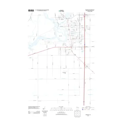
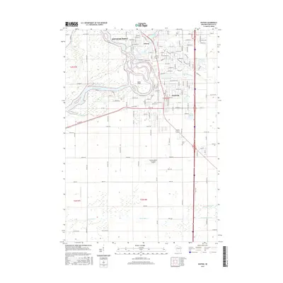
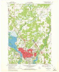 1970 Stevens Point1972 Print · USGSStevens Point and the Wisconsin River corridor are captured here at a peak of mid-century development. Researchers can trace the footprints of Wisconsin State University and local history at St Stephens Cem, McDill Pond, and the Soo Line tracks.4 unique versions available
 - 1970 Map of Rocky Run, 1972 Print
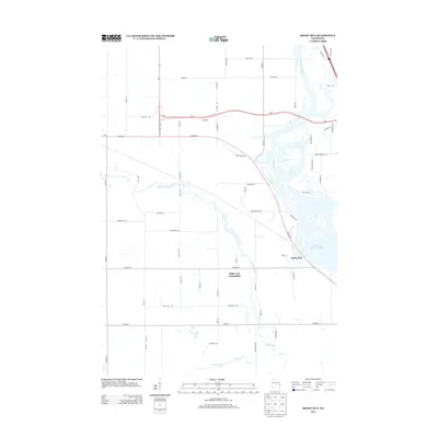
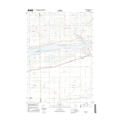
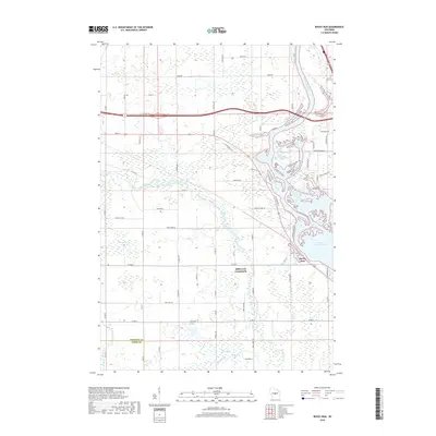
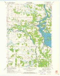 1970 Rocky Run1972 Print · USGSThe Wisconsin River valley on the Portage and Wood county border comes to life in the early seventies, showing a landscape defined by water and woods. Genealogists and local historians can locate the Mill Creek Community, the Buelow Cem, and the marshy reaches of Fogarty Marsh.2 unique versions available
 - 1970 Map of Meehan, 1972 Print
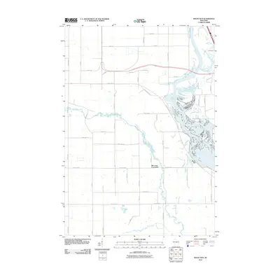
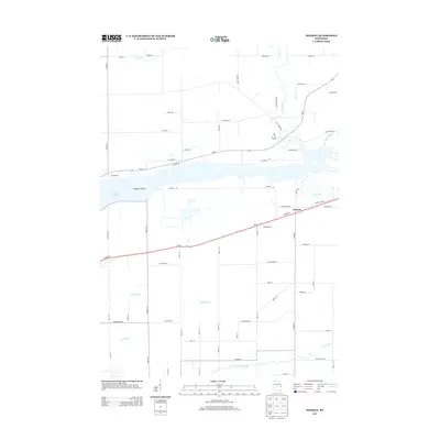
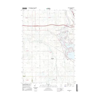
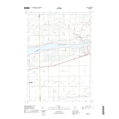
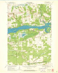 1970 Meehan1972 Print · USGSPortage County at the start of the seventies reveals a landscape defined by the expansive Wisconsin River Flowage and specialized agriculture. Researchers can locate the settlement of Meehan, the Linwood Union Cem, and regional landmarks like the Cranberry Bog.2 unique versions available
 - 1970 Map of Whiting, 1972 Print
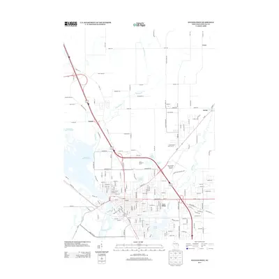
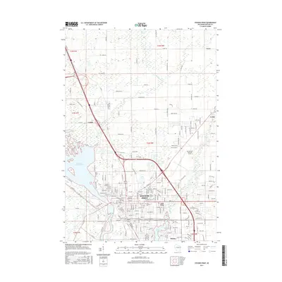
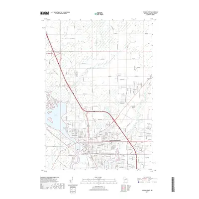
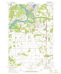 1970 Whiting1972 Print · USGSPortage County at the start of the seventies shows a landscape defined by the winding Wisconsin River and the growing communities of Whiting and Plover. Researchers can trace old family sites near Maine Cem, St Bronislava, or the River Pines Sanatorium.2 unique versions available
 - 1984 Map of Wausau, 1990 Print
 1984 Wausau1990 Print · USGSMarathon and Portage counties come into focus during the mid-eighties as industrial river towns and sprawling conservation areas define the Central Wisconsin landscape. Researchers can trace the rail corridors of the Soo Line or locate rural landmarks like Rib Mountain State Park and St Marys Cem.
 - 1985 Map of Wisconsin Rapids
 1985 Wisconsin Rapids1985 Print · USGSCentral Wisconsin in the mid-eighties shows a landscape of engineered waterways and active rail corridors between Wisconsin Rapids and Waupaca. Genealogists and researchers can trace local landmarks like Roche A Cri State Park, the SOO LINE, and small settlements like Coddington or Rudolph.2 unique versions available
 - 2010 Map of Rocky Run, 2010 Print
 2010 Rocky Run2010 Print · USGSCovers Linwood, including Dewey, Mill Creek Community, and other nearby areas
 - 2010 Map of Stevens Point, 2010 Print
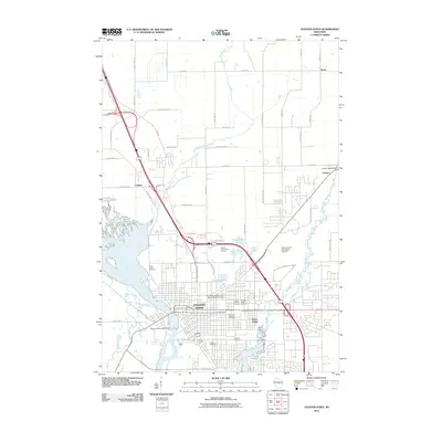 2010 Stevens Point2010 Print · USGSCovers Linwood, including Stevens Point, Whiting, and other nearby areas
 - 2010 Map of Whiting, 2010 Print
 2010 Whiting2010 Print · USGSCovers Linwood, including Stevens Point, Plover, and other nearby areas
 - 2010 Map of Meehan, 2010 Print
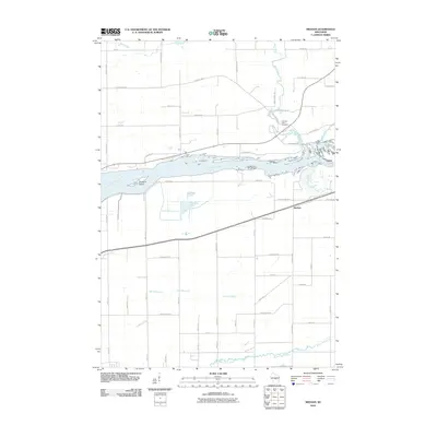 2010 Meehan2010 Print · USGSCovers Linwood, including Biron, Grant, and other nearby areas
 - 2013 Map of Meehan, 2013 Print
 2013 Meehan2013 Print · USGSCovers Linwood, including Biron, Grant, and other nearby areas
 - 2013 Map of Rocky Run, 2013 Print
 2013 Rocky Run2013 Print · USGSCovers Linwood, including Dewey, Mill Creek Community, and other nearby areas
 - 2013 Map of Whiting, 2013 Print
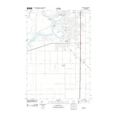
 2013 Whiting2013 Print · USGSCovers Linwood, including Stevens Point, Plover, and other nearby areas
 - 2013 Map of Stevens Point, 2013 Print
 2013 Stevens Point2013 Print · USGSCovers Linwood, including Stevens Point, Whiting, and other nearby areas
 - 2015 Map of Rocky Run, 2015 Print
 2015 Rocky Run2015 Print · USGSCovers Linwood, including Dewey, Mill Creek Community, and other nearby areas
 - 2015 Map of Stevens Point, 2015 Print
 2015 Stevens Point2015 Print · USGSCovers Linwood, including Stevens Point, Whiting, and other nearby areas
 - 2015 Map of Whiting, 2015 Print
 2015 Whiting2015 Print · USGSCovers Linwood, including Stevens Point, Plover, and other nearby areas
 - 2015 Map of Meehan, 2015 Print
 2015 Meehan2015 Print · USGSCovers Linwood, including Biron, Grant, and other nearby areas
 - 2018 Map of Whiting, 2018 Print
 2018 Whiting2018 Print · USGSCovers Linwood, including Stevens Point, Plover, and other nearby areas
 - 2018 Map of Rocky Run, 2018 Print
 2018 Rocky Run2018 Print · USGSCovers Linwood, including Dewey, Mill Creek Community, and other nearby areas
 - 2018 Map of Meehan, 2018 Print
 2018 Meehan2018 Print · USGSCovers Linwood, including Biron, Grant, and other nearby areas
 - 2018 Map of Stevens Point, 2018 Print
 2018 Stevens Point2018 Print · USGSCovers Linwood, including Stevens Point, Whiting, and other nearby areas
Showing maps 1-25 of 29
Top cities near Linwood
- Stevens Point historical maps
- Wisconsin Rapids historical maps
- Plover historical maps
- Stockton historical maps
- Port Edwards historical maps
- Knowlton historical maps
See more
Frequently asked questions
- What are the different types of historical maps available for Linwood?
- What is the oldest map of Linwood?
- Where can I purchase historical maps of Linwood for my home or office?
- Where can I download high-res historical maps of Linwood?
- Are there historical topographic maps available for Linwood?
- Is there historical aerial imagery available for Linwood?
- Where are historical maps of Linwood sourced from?