Old Maps of Camel Hump, Wyoming
Explore 9 old maps of Camel Hump, spanning from 1955 to today. These high-resolution historic maps reveal how streets, neighborhoods, landmarks, and natural features evolved over time — perfect for genealogy, metal detecting, research, and local history exploration.
What you can do with these maps:
- See how Camel Hump changed over time: Compare historical maps to modern-day views to trace roads, homesites, rail lines & more.
- View detailed metadata: Each map includes creators, publishers, year, scale, and archive source.
- Overlay maps with satellite & LiDAR: Visualize the past alongside modern tools to explore terrain & human change.
- Trusted historical sources: Maps sourced from the USGS, Library of Congress, and other archives.
- Access maps your way: View online, download high-res files, or order prints for personal or research use.
Start exploring old maps of Camel Hump to uncover forgotten places, hidden landmarks, and the deep history beneath your feet.
Camel Hump, WY maps
(9)- 1955 Map of Arminto, 1976 Print
 1955 Arminto1976 Print · USGSCentral Wyoming at the mid-century shows a landscape of energy reserves and high-plains ranching. Genealogists and historians can trace the Burlington Northern line through Lost Cabin and the famed Teapot Dome Naval Petroleum Reserve No 3.2 unique versions available
 - 1958 Map of Arminto
 1958 Arminto1958 Print · USGSCentral Wyoming in the late fifties was a landscape of high-plains energy and remote rail outposts. Researchers can trace the Chicago Burlington and Quincy railroad through towns like Arminto and Waltman or locate landmarks like Teapot Rock.
 - 1962 Map of Arminto
 1962 Arminto1962 Print · USGSCentral Wyoming in the early sixties reveals a landscape shaped by the Chicago and North Western railroad and early energy development. Trace the history of the region through remote outposts like Arminto, the US Naval Petroleum Reserve, and the geologic landmark at Hells Half Acre.
 - 1968 Map of Camel Hump Reservoir, 1972 Print
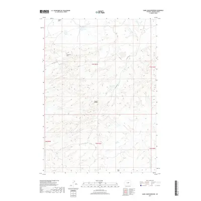
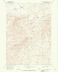 1968 Camel Hump Reservoir1972 Print · USGSIn the late 1960s, this high plains landscape in Natrona County was a site of active resource exploration and historic transit. Researchers can trace an Old Railroad Grade and locate scattered Drill Hole sites near Greasewood Lake and Camel Hump.
 - 1981 Map of Midwest
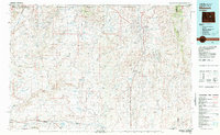 1981 Midwest1981 Print · USGSThe energy-rich plains of central Wyoming are mapped here during the early eighties, highlighting the massive Salt Creek Oil Field. Local historians can trace the rail lines of the Burlington Northern Railroad and locate landmarks like Teapot Rock and the town of Midwest.
 - 2012 Map of Camel Hump Reservoir, 2012 Print
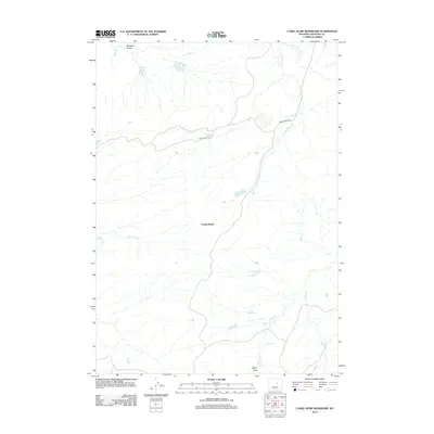 2012 Camel Hump Reservoir2012 Print · USGSCovers Camel Hump, including Natrona County, United States, and other nearby areas
 - 2015 Map of Camel Hump Reservoir, 2015 Print
 2015 Camel Hump Reservoir2015 Print · USGSCovers Camel Hump, including Natrona County, United States, and other nearby areas
 - 2017 Map of Camel Hump Reservoir, 2017 Print
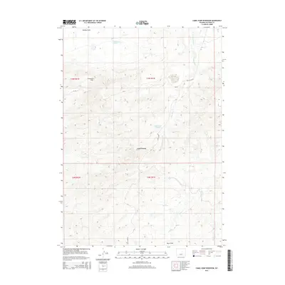
 2017 Camel Hump Reservoir2017 Print · USGSCovers Camel Hump, including Natrona County, United States, and other nearby areas
 - 2021 Map of Camel Hump Reservoir, 2021 Print
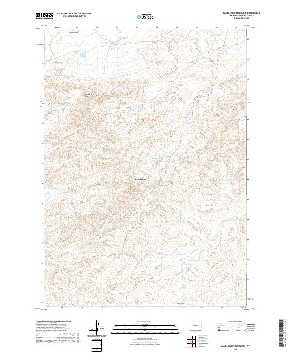 2021 Camel Hump Reservoir2021 Print · USGSNatrona County in the early twenty-first century remains a landscape of remote ranching and essential water management. Trace the seasonal waterways and isolated catchments like Wild Horse Reservoir, Camel Hump Reservoir, and the Wild Horse (113) Trl.
End of results
Showing maps 1-9 of 9
Frequently asked questions
- What are the different types of historical maps available for Camel Hump?
- What is the oldest map of Camel Hump?
- Where can I purchase historical maps of Camel Hump for my home or office?
- Where can I download high-res historical maps of Camel Hump?
- Are there historical topographic maps available for Camel Hump?
- Is there historical aerial imagery available for Camel Hump?
- Where are historical maps of Camel Hump sourced from?