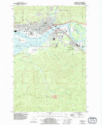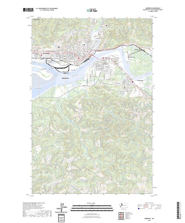
2023 Map of Aberdeen
USGS Topo · Published 2023About this map
The Wishkah River and Chehalis River converge at the heart of this coastal industrial landscape, defining the interconnected waterfronts of Aberdeen, Hoquiam, and Cosmopolis. The map illustrates a densely developed maritime corridor where the Aberdeen Reach and Cosmopolis Waterway serve as vital arteries for Pacific Northwest trade. Cultural and educational landmarks are prominent, including the hilltop campus of Grays Harbor College overlooking the river valley and the long-established Fern Hill Cem and Forest Hill Cem. Away from the urban grid, the terrain transitions into the timber-rich hills of the Olympic Peninsula foothills, drained by systems like Charley Creek and Newskah Creek. The detailed street layouts of neighborhoods like South Aberdeen and East Hoquiam contrast with the tidal wetlands of Rennie Island and the North Channel.
Find a feature on this map
102 named features on this map. Tap any name to fly to it.
Don’t see what you’re looking for? This feature index may not catch every label — zoom into the map to look around manually.
Map Details
Editions of this 2023 Aberdeen Map
This is the sole edition of this map. No revisions or reprints were ever made.