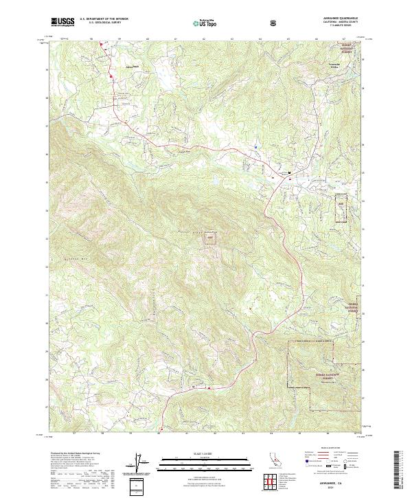
2021 Map of Ahwahnee
USGS Topo · Published 2021About this map
Ahwahnee and the surrounding foothill communities of the Sierra Nevada are documented here in 2021, showing a landscape defined by its rugged topography and historical industry. The Texas Flat Mines near Deadwood Peak serve as a reminder of the region's mining heritage, while the Oakhill Cem District provides a focal point for genealogical interest near Fresno Flats. The terrain is characterized by prominent elevations such as Potter Ridge and Thornberry Mtn, with the Fresno River and its tributaries, including Nelder Cr and Miami Cr, carving through the granite slopes.
Find a feature on this map
139 named features on this map. Tap any name to fly to it.
Don’t see what you’re looking for? This feature index may not catch every label — zoom into the map to look around manually.
Map Details
Editions of this 2021 Ahwahnee Map
This is the sole edition of this map. No revisions or reprints were ever made.
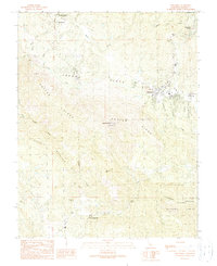
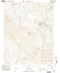
Historical Maps of Ahwahnee Estates Through Time
3 maps found