
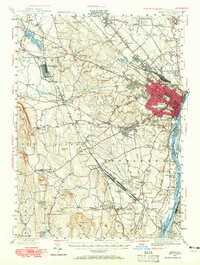
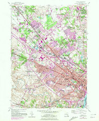
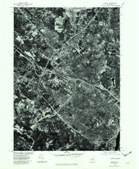
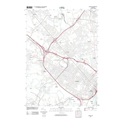
1957 Map of Albany
USGS Topo · Published 1957About this map
The Hudson River and Connecticut River valleys define the industrial and agricultural corridors of this mid-century region, where major urban centers like Albany, Troy, and Springfield serve as anchors for transportation and commerce. This period shows the transition to modern infrastructure with the New York State Thruway cutting across the landscape, while the established rail network of the New York Central and Boston and Albany continues to link the Berkshire mountain towns.
Find a feature on this map
104 named features on this map. Tap any name to fly to it.
Don’t see what you’re looking for? This feature index may not catch every label — zoom into the map to look around manually.
Map Details
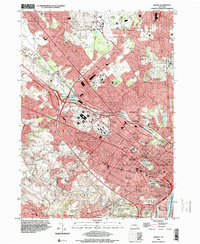
Editions of this 1957 Albany Map
This is the sole edition of this map. No revisions or reprints were ever made.
Historical Maps of Springfield Through Time
21 maps found

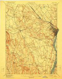
1893 Albany
Albany County, NY

1895 Albany
Albany County, NY
1898 Albany
Albany County, NY
1927 Albany
Albany County, NY
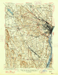
1947 Albany
Albany County, NY

1948 Albany
Albany County, NY
1950 Albany
Albany County, NY
1953 Albany
Albany County, NY
1956 Albany
Albany County, NY
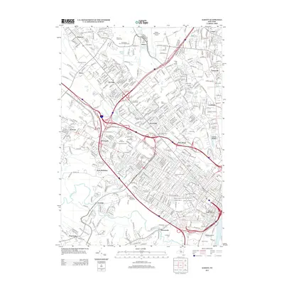
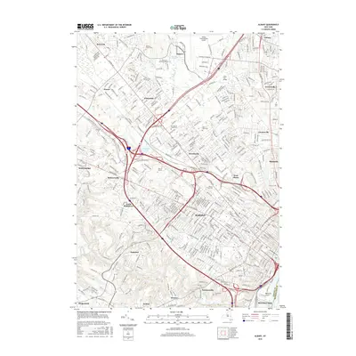
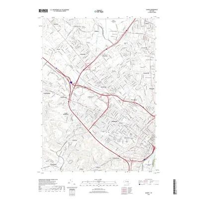
1957 Albany
Albany County, NY

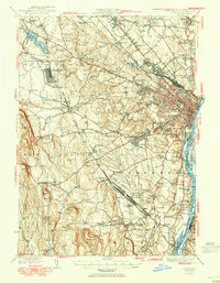
1959 Albany
Albany County, NY

1962 Albany
Albany County, NY
1978 Albany
Albany County, NY

1986 Albany
Albany County, NY

1989 Albany
Albany County, NY
1994 Albany
Albany County, NY
2010 Albany
Albany County, NY
2013 Albany
Albany County, NY
2016 Albany
Albany County, NY
2019 Albany
Albany County, NY

2023 Albany
Albany County, NY