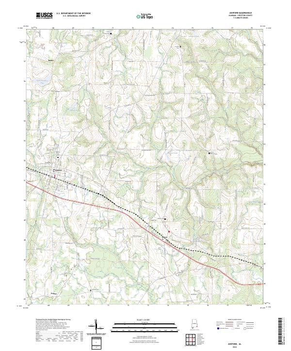
2024 Map of Ashford
USGS Topo · Published 2024About this map
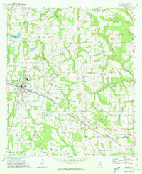
Ashford stands as the primary hub in this corner of Houston County, where a grid of streets like 7th Ave and N Broadway Ave meets the surrounding agricultural landscape. The township is characterized by numerous family and community burial grounds, including Ashford City Cem and Union Springs Cem, which serve as vital landmarks for local genealogical research. Small settlements such as Pansey and Barber dot the outskirts, connected by a network of rural roads such as Cedar Springs Rd and Hollis Meadows Rd. Water features like Garners Pond and Glenn Lawrence Lake are scattered throughout the terrain, while the drainage of Nalls Creek and Mill Creek provides structure to the low-lying areas. The distribution of these features reflects a well-established rural infrastructure that has persisted through the decades.
Find a feature on this map
82 named features on this map. Tap any name to fly to it.
Don’t see what you’re looking for? This feature index may not catch every label — zoom into the map to look around manually.
Map Details
Editions of this 2024 Ashford Map
This is the sole edition of this map. No revisions or reprints were ever made.