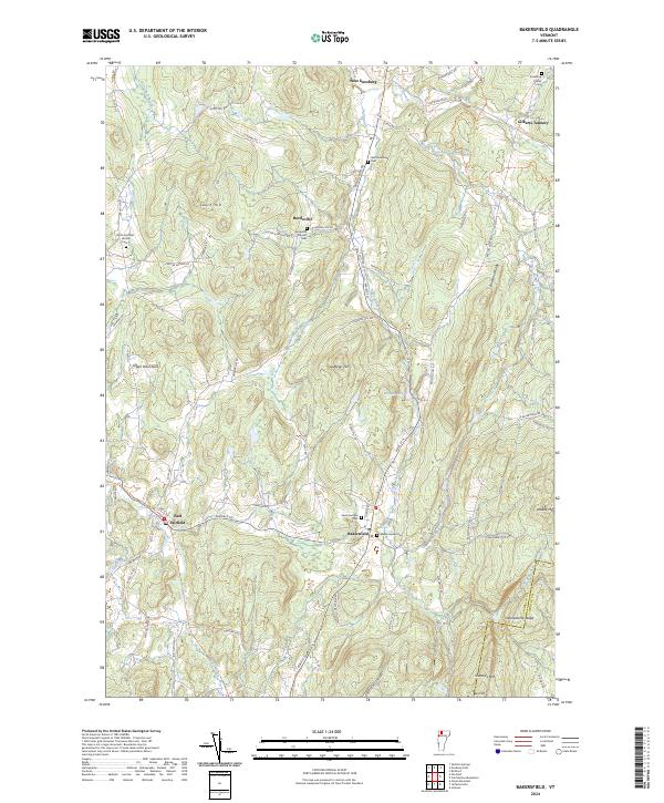
2024 Map of Bakersfield
USGS Topo · Published 2024About this map
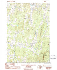
The rolling hills of Franklin County define this landscape, where the settlement of Bakersfield sits at the junction of several local routes. The terrain is marked by significant elevations such as Giddings Hill, Leach Hill, and Peaked Mtn, while the southern boundary follows the Franklin Co Lamoille Co line near Checkerberry Ledge. The drainage pattern is complex, with The Branch and Black Creek winding through the valleys, supporting small clusters of development like East Fairfield and West Enosburg.
Find a feature on this map
84 named features on this map. Tap any name to fly to it.
Don’t see what you’re looking for? This feature index may not catch every label — zoom into the map to look around manually.
Map Details
Editions of this 2024 Bakersfield Map
This is the sole edition of this map. No revisions or reprints were ever made.