2022 Map of Bangor
USGS Topo · Published 2022About this map
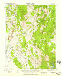
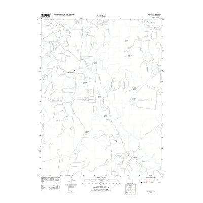
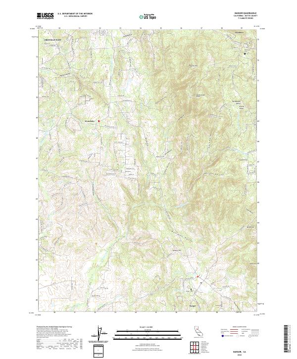
Bangor anchors the southern portion of this 2022 survey, surrounded by the undulating terrain of the Sierra Nevada foothills where the Central Valley begins its ascent. The landscape is defined by an intricate network of drainages, including French Ravine, Whitehall Ravine, and Rocky-Honcut Cr, which flow through a region marked by rural residential growth and historic agricultural holdings. Significant topographic landmarks such as Cleveland Hill and Rattlesnake Point rise above the valleys, while the historical footprint of the area is maintained through sites like the Bangor Cem and Oak Grove Cem in Hurleton. North of the principal settlements, the map reveals the water management infrastructure critical to the region, featuring segments of the N Ditch and S Ditch. The transition from the Central Valley to the higher elevations of Phoenix Hill illustrates the varied geography of Butte County, where modern roads like the Oro Bangor Hwy follow the contours of old routes used by generations of residents.
Find a feature on this map
172 named features on this map. Tap any name to fly to it.
Don’t see what you’re looking for? This feature index may not catch every label — zoom into the map to look around manually.
Map Details
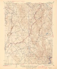
Editions of this 2022 Bangor Map
This is the sole edition of this map. No revisions or reprints were ever made.
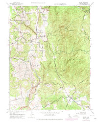
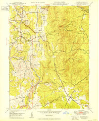
Historical Maps of Hurleton Through Time
9 maps found