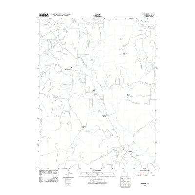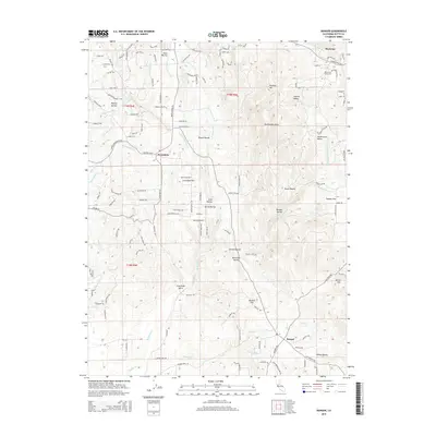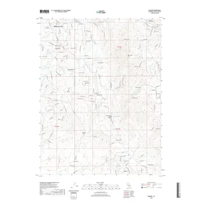
1949 Map of Bangor
USGS Topo · Published 1949About this map
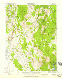
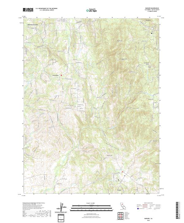
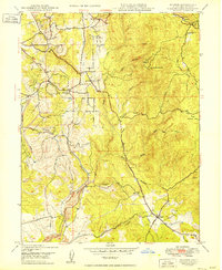
Hurleton and Wyandotte anchor the northern reaches of this Sierra Nevada foothill landscape, where the gold-rush era's hydraulic and hard-rock legacies are etched into the topography. The drainage of North Honcut Creek and its many tributaries, such as Irish Ravine and Fine Gold Gulch, define the region's complex water management system. Evidence of early infrastructure includes a siphon and flume networks designed to move water across the uneven terrain of Cleveland Hill and Swedes Flat.
Find a feature on this map
56 named features on this map. Tap any name to fly to it.
Don’t see what you’re looking for? This feature index may not catch every label — zoom into the map to look around manually.
Map Details
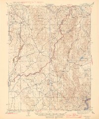
Editions of this 1949 Bangor Map
This is the sole edition of this map. No revisions or reprints were ever made.
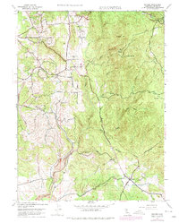
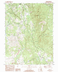
Historical Maps of Bangor Through Time
9 maps found