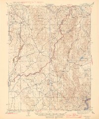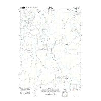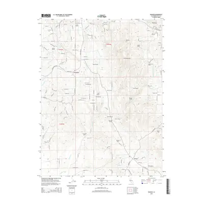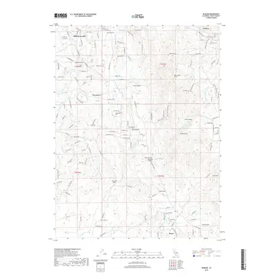
1941 Map of Bangor
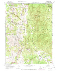
USGS Topo · Published 1958About this map
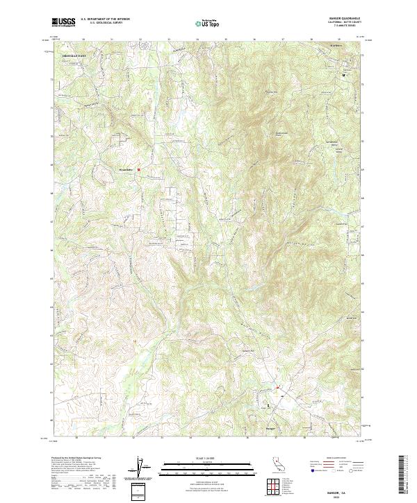
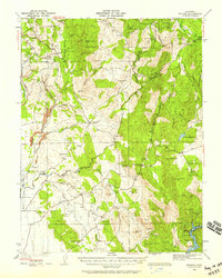
The Sierra Nevada foothills at the transition of Butte and Yuba counties appear here during the early 1940s, revealing a landscape defined by gold mining history and rural upland farming. The terrain is marked by numerous industrial sites including the Phoenix Mine, the Central Pacific Mine, and the Blue Lead Mine, signifying the region's mineral-rich history. Small settlements and local landmarks are scattered across the ridges and flats, from the community of Bangor to the higher elevations of Rackerby and Brownsville.
Find a feature on this map
58 named features on this map. Tap any name to fly to it.
Don’t see what you’re looking for? This feature index may not catch every label — zoom into the map to look around manually.
Map Details
Editions of this 1941 Bangor Map
This is the sole edition of this map. No revisions or reprints were ever made.
Historical Maps of Olive Hill Through Time
9 maps found