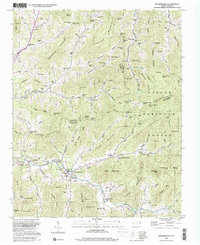
2022 Map of Barnardsville
USGS Topo · Published 2022About this map
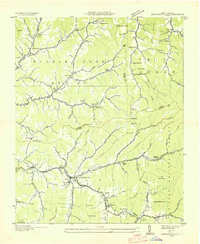
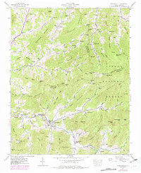
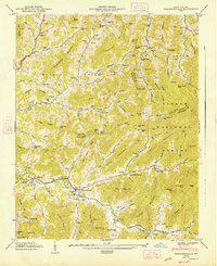
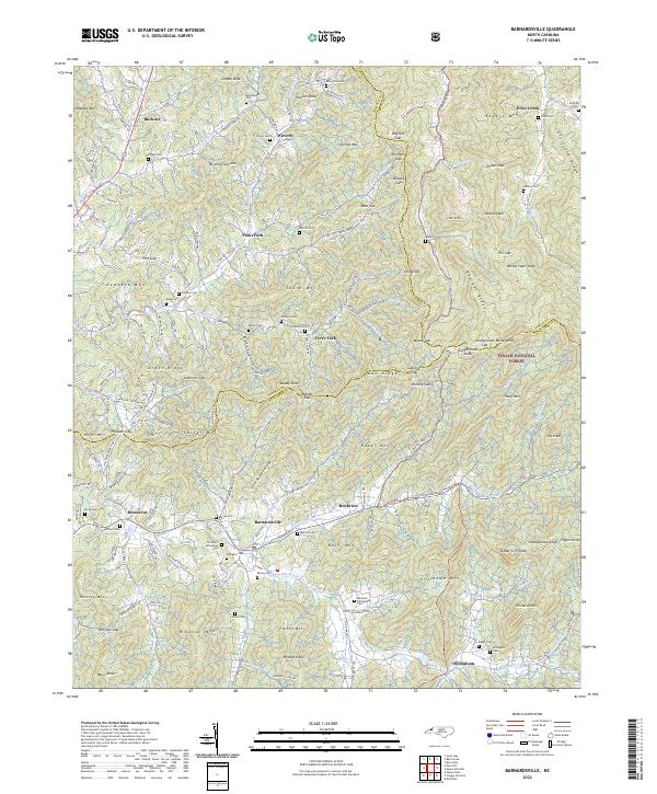
Barnardsville and the high ridges of the Pisgah National Forest define this landscape at the intersection of Buncombe, Madison, and Yancey Counties. This survey provides a modern view of the deep genealogical roots in the Big Ivy area, where numerous family-named burial sites like the Thomas S Dillingham Cem and Absalom Dillingham Cem are preserved along the valley floors. The settlement pattern follows the drainage of Dillingham Creek and Paint Fork, with small communities such as Democrat and Rockview situated along the winding mountain roads. The terrain is marked by significant gaps and knobs, including Wolfpit Gap and Pinnacle Mtn, illustrating the complex topography that historically dictated the movement of goods and people through these Appalachian coves. Roads like State Rd 2173 and N Fork Rd serve as the primary arteries connecting these isolated settlements to the larger region.
Find a feature on this map
142 named features on this map. Tap any name to fly to it.
Don’t see what you’re looking for? This feature index may not catch every label — zoom into the map to look around manually.
Map Details
Editions of this 2022 Barnardsville Map
This is the sole edition of this map. No revisions or reprints were ever made.
Historical Maps of Paint Fork Through Time
5 maps found