2023 Map of Baroda
USGS Topo · Published 2023About this map
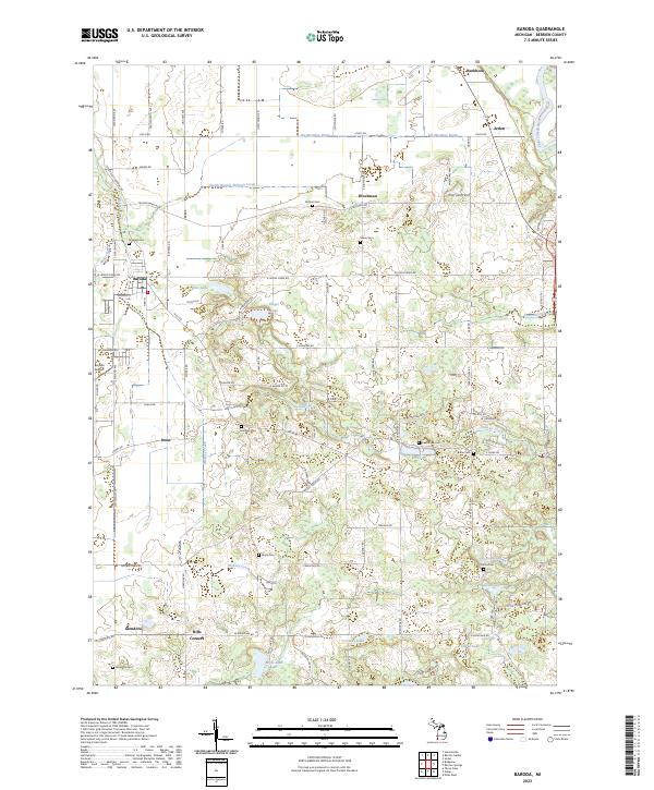
Fruit orchards and agricultural plots define the landscape of south-central Berrien County, where the village of Baroda sits as a central hub for the surrounding rural townships. The terrain is crisscrossed by a network of drainage systems like the Big Meadow Drain and Shuler Drain, which manage the water levels for local agriculture before flowing toward the Saint Joseph River in the east. Small communities and historical intersections, including Arden, Buckhorn, and Hills Corners, anchor the various school districts and rural neighborhoods. Numerous family-named burial grounds, such as Feather Cem and Burke Cem, are scattered throughout the quadrangle, reflecting the deep-rooted settlement history of the region. The map also traces the winding course of Lemon Creek as it moves westward through the townships, alongside small bodies of water like Singer Lake and Hess Lake.
Find a feature on this map
67 named features on this map. Tap any name to fly to it.
Don’t see what you’re looking for? This feature index may not catch every label — zoom into the map to look around manually.
Map Details
Editions of this 2023 Baroda Map
This is the sole edition of this map. No revisions or reprints were ever made.
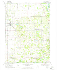
Historical Maps of Royalton Township Through Time
Featured Locations
- Buchanan Township, MI
- Royalton Township, MI
- Sodus Township, MI
- Weesaw Township, MI
- Baroda, Baroda Township