Loading...
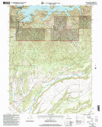
Loading map...1998 Map of Bella Vista
USGS Topo · Published 2003About this map
Shasta Lake and the rugged northern reach of the Shasta Trinity National Forest dominate this late 20th-century landscape. The map captures a moment when the recreational identity of the Whiskeytown Shasta Trinity National Recreation Area was well established, featuring the Jones Valley Marina and several boat launches along the convoluted shoreline. Further south, the terrain transitions into the Plains, where the settlement of Bella Vista serves as a local hub near Frazier Corners.
Find a feature on this map
41 named features on this map. Tap any name to fly to it.
Don’t see what you’re looking for? This feature index may not catch every label — zoom into the map to look around manually.
Map Details
Date Portrayed1998
Date Published2003
PublisherU.S. Geological Survey
Map TypeTopographic
Scale1:24000
Physical Dimensions21.4 x 26.7 inches
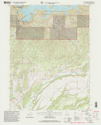
Editions of this 1998 Bella Vista Map
2 editions found
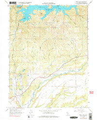
Historical Maps of Bella Vista Through Time
3 maps found
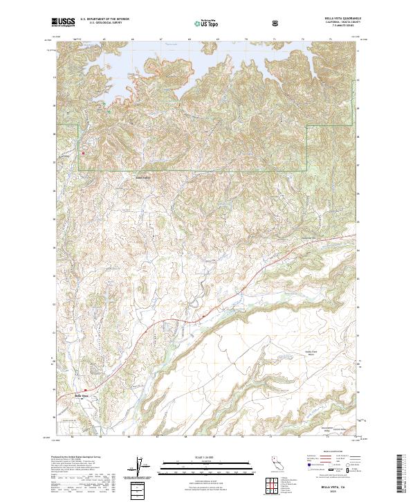
Featured Locations
Source Details
SourceU.S. Geological Survey
CopyrightPublic Domain