2023 Map of Benton City
USGS Topo · Published 2023About this map
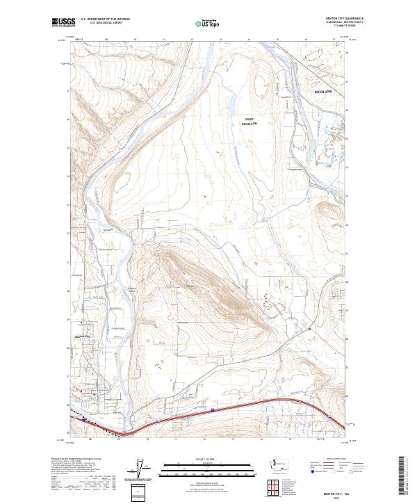
Benton City sits at a sharp bend in the Yakima River, serving as a focal point for an intricate network of irrigation and transport in this 2023 survey. The landscape is defined by the vital presence of the Columbia Canal, Kiona Canal, and McWhorter Canal, which trace the contours of the land to support regional agriculture. To the north, the protected expanses of the Hanford Reach National Monument and the Saddle Mountain National Wildlife Refuge meet the river, preserving the natural character of the terrain. The map captures the suburban growth extending from West Richland and Richland toward the distinctive landforms of Red Mtn and The Island. Local history is anchored by Evergreen Cem, while river features like Songbird Island highlight the importance of the waterway to the local geography.
Find a feature on this map
77 named features on this map. Tap any name to fly to it.
Don’t see what you’re looking for? This feature index may not catch every label — zoom into the map to look around manually.
Map Details
Editions of this 2023 Benton City Map
This is the sole edition of this map. No revisions or reprints were ever made.