Loading...
Loading map...2023 Map of Big Creek
USGS Topo · Published 2023About this map
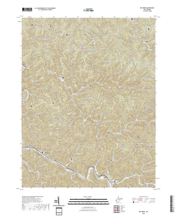
The Guyandotte River cuts through the southern portion of this landscape, anchoring settlements like Harts, Ferrellsburg, and Big Creek. This corridor is defined by its deep valley floors and steep ridges, such as Green Shoals Mountain and Pea Ridge, which separate the myriad hollows and branches feeding into Big Ugly Creek and the Mud River.
Find a feature on this map
145 named features on this map. Tap any name to fly to it.
Don’t see what you’re looking for? This feature index may not catch every label — zoom into the map to look around manually.
Map Details
Date Portrayed2023
Date Published2023
PublisherU.S. Geological Survey
Map TypeTopographic
Scale1:24000
Physical Dimensions24 x 29 inches
Editions of this 2023 Big Creek Map
This is the sole edition of this map. No revisions or reprints were ever made.
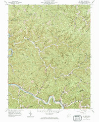
Historical Maps of Big Creek Through Time
Featured Locations
Source Details
SourceU.S. Geological Survey
CopyrightPublic Domain