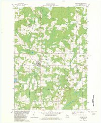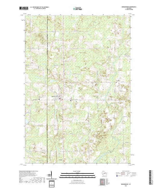
2022 Map of Birnamwood
USGS Topo · Published 2022About this map
The village of Birnamwood sits at the intersection of Marathon and Shawano counties, serving as a focal point for the surrounding dairy and timber lands. The landscape is defined by the winding course of the Middle Branch Embarrass River and the extensive Mattoon Swamp to the north, which together dictate the regional drainage patterns. Historically significant corridors are preserved here through recreational paths, specifically where the Wiouwash State Trl and Mountain-Bay State Trl converge near the village of Eland. These trails follow the legacy of the old rail lines that once fueled the local economy. Genealogists will find valuable records in the several local burial grounds, including Saint Philomenes Cem, Forest Cem, and Saint John Lutheran Cem situated along the rural township roads. Smaller waterways like Norrie Brook and Railroad Cr weave through the township sections, illustrating the intricate hydrology of this central Wisconsin region.
Find a feature on this map
72 named features on this map. Tap any name to fly to it.
Don’t see what you’re looking for? This feature index may not catch every label — zoom into the map to look around manually.
Map Details
Editions of this 2022 Birnamwood Map
This is the sole edition of this map. No revisions or reprints were ever made.