Loading...
Loading map...2022 Map of Bovey
USGS Topo · Published 2022About this map
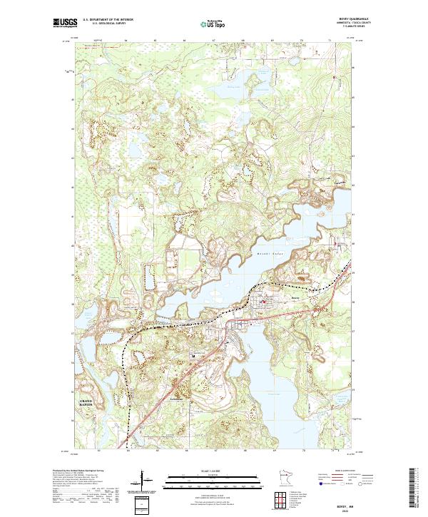
The Mesabi Range defines the industrial and natural geography of this Itasca County landscape, where the iron mining legacy is visible in the footprint of the Trout Lake Tailings Basin. This area is characterized by a dense cluster of worker-founded settlements including Bovey, Coleraine, and Taconite, reflecting the early 20th-century mining boom. The town of Canisteo sits between the larger hubs, near the shores of Buckeye Lake.
Find a feature on this map
73 named features on this map. Tap any name to fly to it.
Don’t see what you’re looking for? This feature index may not catch every label — zoom into the map to look around manually.
Map Details
Date Portrayed2022
Date Published2022
PublisherU.S. Geological Survey
Map TypeTopographic
Scale1:24000
Physical Dimensions24 x 29 inches
Editions of this 2022 Bovey Map
This is the sole edition of this map. No revisions or reprints were ever made.
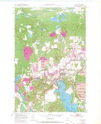
Historical Maps of Taconite Through Time
Featured Locations
Source Details
SourceU.S. Geological Survey
CopyrightPublic Domain