Loading...
Loading map...2021 Map of Brumley
USGS Topo · Published 2021About this map
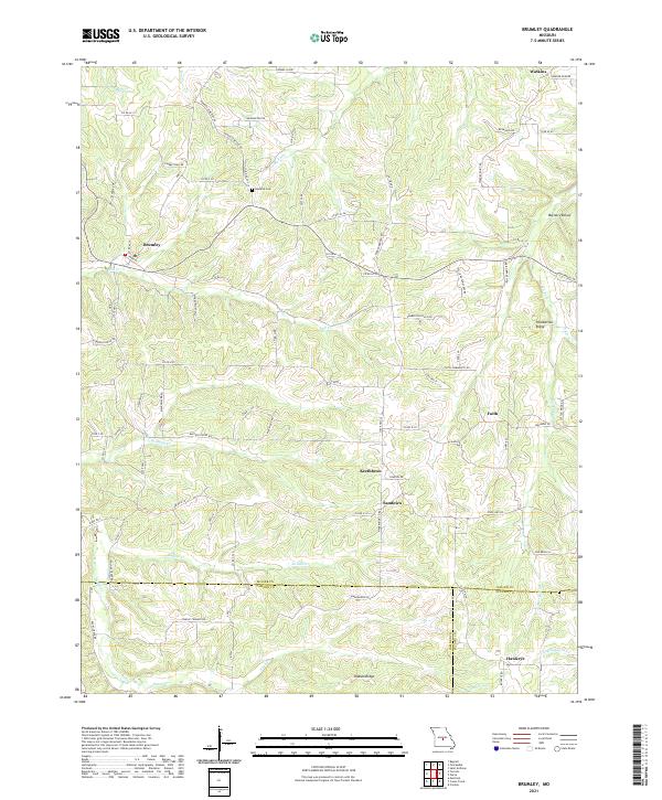
The northern Ozarks landscape of Miller, Camden, and Pulaski counties is defined by a dense network of winding creek valleys and ridges. Brumley sits as a primary hub for this rural region, where local life follows the drainages of Brushy Fork and Mill Cr. Small, named communities such as Keethtown, Samtown, and Faith are scattered throughout the hills, connected by a web of county roads like Kinderhook Rd and Co Rd U-8.
Find a feature on this map
89 named features on this map. Tap any name to fly to it.
Don’t see what you’re looking for? This feature index may not catch every label — zoom into the map to look around manually.
Map Details
Date Portrayed2021
Date Published2021
PublisherU.S. Geological Survey
Map TypeTopographic
Scale1:24000
Physical Dimensions24 x 29 inches
Editions of this 2021 Brumley Map
This is the sole edition of this map. No revisions or reprints were ever made.
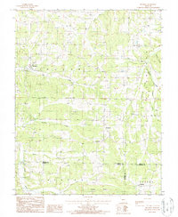
Historical Maps of Keethtown Through Time
Featured Locations
Source Details
SourceU.S. Geological Survey
CopyrightPublic Domain