Loading...
Loading map...2022 Map of Cable
USGS Topo · Published 2022About this map
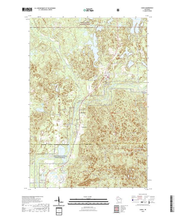
The Namakagon River Rd corridor defines the geography of northern Wisconsin in this recent survey, anchoring the settlement of Cable. The landscape is a complex network of glacial kettle lakes and wetlands, ranging from the large Lake Owen and Silverthorn Lake to smaller basins like Mossback Lake and Pacwawong Lake. Within the Chequamegon National Forest, the terrain rises toward Mt Telemark, a significant local landmark.
Find a feature on this map
89 named features on this map. Tap any name to fly to it.
Don’t see what you’re looking for? This feature index may not catch every label — zoom into the map to look around manually.
Map Details
Date Portrayed2022
Date Published2022
PublisherU.S. Geological Survey
Map TypeTopographic
Scale1:24000
Physical Dimensions24 x 29 inches
Editions of this 2022 Cable Map
This is the sole edition of this map. No revisions or reprints were ever made.
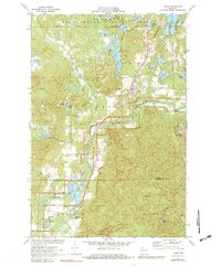
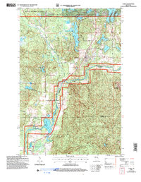
Historical Maps of Cable Through Time
Featured Locations
Source Details
SourceU.S. Geological Survey
CopyrightPublic Domain