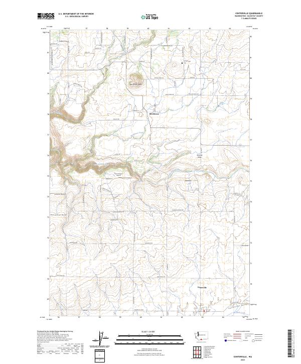
2023 Map of Centerville
USGS Topo · Published 2023About this map
Centerville and Blockhouse serve as the primary hubs of this rural Klickitat County landscape, situated within the fertile expanse of the Centerville Valley and Klickitat Valley. The terrain is defined by dramatic geological features like Blockhouse Butte and the sharp turn of Horseshoe Bend, where the Little Klickitat River cuts through the basin. In the northern reaches, Crofton Prairie offers a flatter contrast to the drainage systems of Mill Creek and Blockhouse Creek. For those tracing local history or family roots, Spring Creek Cem is a significant landmark near the intersection of W Winterstein Rd and N Winterstein Rd. The map also captures modern infrastructure, including the Piper Canyon Airport, illustrating the continued importance of regional connectivity in this agricultural region south of the Little Klickitat River.
Find a feature on this map
66 named features on this map. Tap any name to fly to it.
Don’t see what you’re looking for? This feature index may not catch every label — zoom into the map to look around manually.
Map Details
Editions of this 2023 Centerville Map
This is the sole edition of this map. No revisions or reprints were ever made.