Loading...
Loading map...2022 Map of Central City
USGS Topo · Published 2022About this map
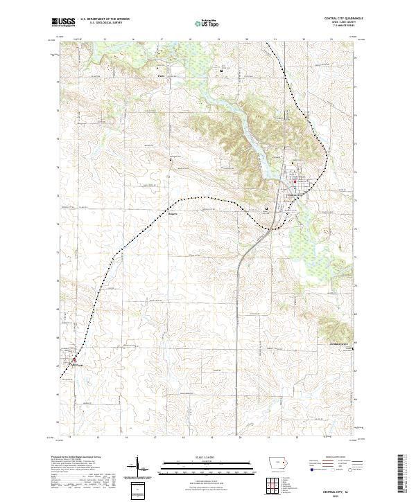
The Wapsipinicon River carves a winding path through this Linn County landscape, serving as the primary drainage for numerous tributaries like Sutton Cr and Justins Cr. The area is anchored by the settlement of Central City, where a grid of streets including Commercial St and State St borders the river's edge. This modern survey reflects a deeply rooted rural layout, where historical small-town sites and family-named landmarks persist alongside newer developments.
Find a feature on this map
82 named features on this map. Tap any name to fly to it.
Don’t see what you’re looking for? This feature index may not catch every label — zoom into the map to look around manually.
Map Details
Date Portrayed2022
Date Published2022
PublisherU.S. Geological Survey
Map TypeTopographic
Scale1:24000
Physical Dimensions24 x 29 inches
Editions of this 2022 Central City Map
This is the sole edition of this map. No revisions or reprints were ever made.
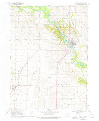
Historical Maps of Paris Through Time
Featured Locations
Source Details
SourceU.S. Geological Survey
CopyrightPublic Domain