2024 Map of Chapin
USGS Topo · Published 2024About this map
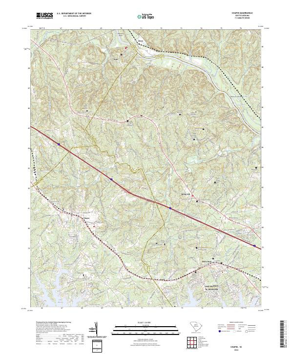
Broad River serves as the dominant natural boundary on this sheet, winding past the settlements of Peak and Alston while separating Newberry, Fairfield, and Richland counties. The landscape transitions from the river valley and its notable crossings, such as Hancocks Old Ferry, toward the modern shoreline of Lake Murray of Richland. This contemporary survey reveals a high density of ancestral sites, particularly family and church burial grounds like the Capers Chapel Graveyard and Mount Olivet Lutheran Church Graveyard. The geography reflects a long-standing rural community structure where small settlements like Spring Hill and White Rock are connected by a network of historic roads, including Old Bush River Rd and Amicks Ferry Rd. The presence of Busbys Shoals and Chapels Shoals indicates the river's original natural character in an area now influenced by the reservoir downstream.
Find a feature on this map
192 named features on this map. Tap any name to fly to it.
Don’t see what you’re looking for? This feature index may not catch every label — zoom into the map to look around manually.
Map Details
Editions of this 2024 Chapin Map
This is the sole edition of this map. No revisions or reprints were ever made.