2022 Map of Chinquapin
USGS Topo · Published 2022About this map
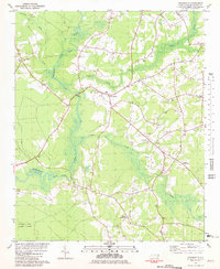
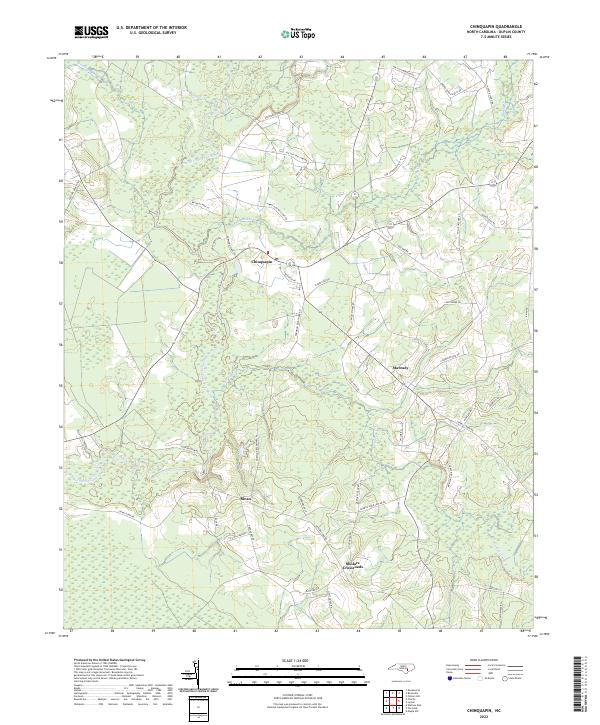
The Northeast Cape Fear River carves a winding path through this Duplin County landscape, defining the character of small communities like Chinquapin and Sloan. The river's influence is visible in the dense network of tributaries, including Muddy Cr and Stocking Head Cr, which create a complex wetland environment between the upland agricultural plots. Small settlements and rural intersections like Maready and Sholars Crossroads are connected by a web of local roads, many bearing family names like Jimmy Tate Williams Rd and George Dunn Sholar Rd. This network suggests a long-standing pattern of localized farming and generational land ownership in the coastal plain. The distribution of homes and farmsteads follows the subtle rises in elevation, avoiding the low-lying basins of Cypress Cr while maintaining close proximity to these essential water sources.
Find a feature on this map
48 named features on this map. Tap any name to fly to it.
Don’t see what you’re looking for? This feature index may not catch every label — zoom into the map to look around manually.
Map Details
Editions of this 2022 Chinquapin Map
This is the sole edition of this map. No revisions or reprints were ever made.