Loading...
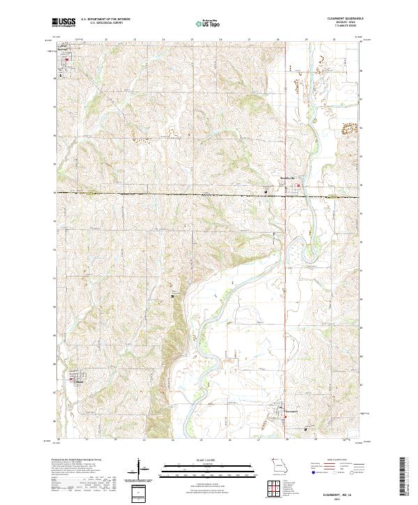
Loading map...2021 Map of Clearmont
USGS Topo · Published 2021About this map
The Nodaway River winds southward through this rural borderland, defining the geography between Clearmont and Braddyville. This landscape is characterized by a dense network of country roads, where the Iowa Missouri state line and the boundary between Page and Nodaway Counties intersect. Small agricultural centers like College Springs and Elmo serve as anchors for the surrounding farmsteads, many of which are situated along tributary waters such as Middle Mill Cr and Moss Br.
Find a feature on this map
73 named features on this map. Tap any name to fly to it.
Don’t see what you’re looking for? This feature index may not catch every label — zoom into the map to look around manually.
Map Details
Date Portrayed2021
Date Published2021
PublisherU.S. Geological Survey
Map TypeTopographic
Scale1:24000
Physical Dimensions24 x 29 inches
Editions of this 2021 Clearmont Map
This is the sole edition of this map. No revisions or reprints were ever made.
Historical Maps of Iowa Through Time
Featured Locations
- Lincoln Township, MO
- Braddyville, IA
- College Springs, IA
- Elmo, Lincoln Township
- Clearmont, Atchison Township
Source Details
SourceU.S. Geological Survey
CopyrightPublic Domain