2024 Map of Clemson
USGS Topo · Published 2024About this map
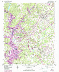
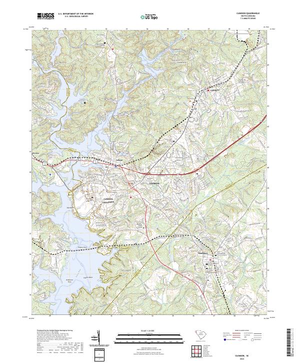
Clemson University serves as the academic and cultural anchor for this region, where the tri-county borders of Oconee, Pickens, and Anderson meet. The landscape is defined by the significant hydrological influence of the Seneca River, Keowee River, and Twelvemile Creek, which converge to form a complex shoreline of inlets and bends. The mapping detail highlights a transition from the established college town of Clemson to the historical layout of Pendleton, revealing a dense concentration of early religious sites and family burial grounds.
Find a feature on this map
263 named features on this map. Tap any name to fly to it.
Don’t see what you’re looking for? This feature index may not catch every label — zoom into the map to look around manually.
Map Details
Editions of this 2024 Clemson Map
This is the sole edition of this map. No revisions or reprints were ever made.