Loading...
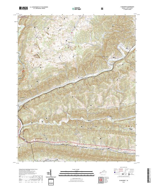
Loading map...2022 Map of Clinchport
USGS Topo · Published 2022About this map
The Clinch River carves through a landscape of ridges and valleys in this modern survey of Scott County. The settlement of Clinchport sits at the river's edge, while the surrounding uplands like Copper Ridge and Cedar Ridge are dotted with family burial grounds and small communities. This area preserves a legacy of water-powered industry, with several historic mill sites including Rhoton Mill, Craft Mill, and Spivey Mill still noted along the creeks and river bends.
Find a feature on this map
125 named features on this map. Tap any name to fly to it.
Don’t see what you’re looking for? This feature index may not catch every label — zoom into the map to look around manually.
Map Details
Date Portrayed2022
Date Published2022
PublisherU.S. Geological Survey
Map TypeTopographic
Scale1:24000
Physical Dimensions24 x 29 inches
Editions of this 2022 Clinchport Map
This is the sole edition of this map. No revisions or reprints were ever made.
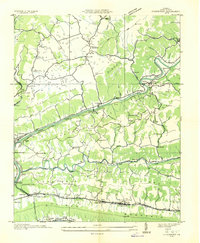
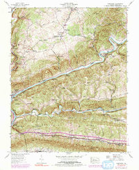
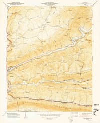
Historical Maps of Rye Cove Through Time
4 maps found
Featured Locations
Source Details
SourceU.S. Geological Survey
CopyrightPublic Domain