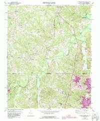
2022 Map of Cluster Springs
USGS Topo · Published 2022About this map
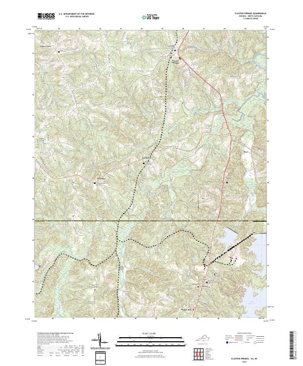
The Hyco River and its numerous tributaries, including Coleman Cr and Jeremy Cr, carve through this landscape along the border of Halifax County, Virginia, and Person County, North Carolina. This rural corridor is defined by its small, long-established settlements such as Cluster Springs, Harmony, and Denniston. The settlement pattern here is deeply rooted in local congregations and family history, evidenced by the high density of combined church and cemetery sites like Springhill Presbyterian Church/Cem and Baileys Chapel Methodist Church/Cem. The northern reaches of the Mayo Reservoir extend into the southern portion of the map, marking a significant change to the local hydrology. Traces of the region's agricultural and transportation history remain visible through the Tobacco Heritage Trl and family-named landmarks like Blanes Millpond, which reflect the historic economy of this Piedmont borderland.
Find a feature on this map
89 named features on this map. Tap any name to fly to it.
Don’t see what you’re looking for? This feature index may not catch every label — zoom into the map to look around manually.
Map Details
Editions of this 2022 Cluster Springs Map
This is the sole edition of this map. No revisions or reprints were ever made.