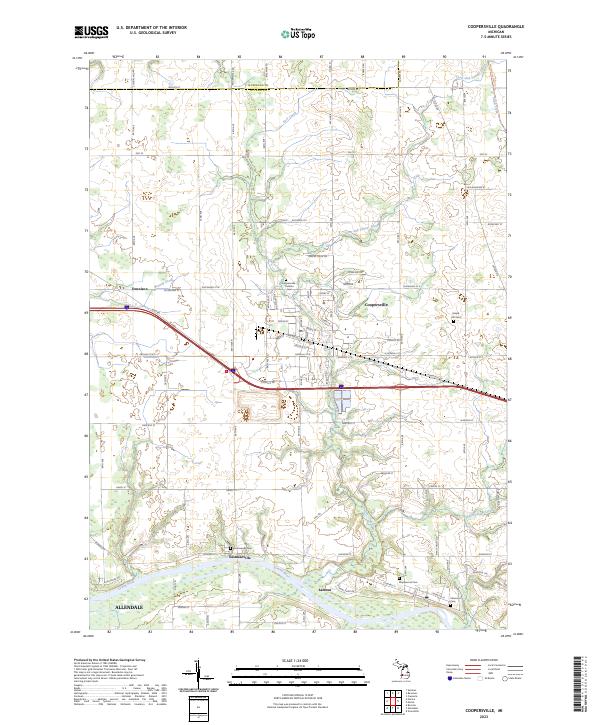
2023 Map of Coopersville
USGS Topo · Published 2023About this map
The Grand River flows through the southern portion of this landscape, anchoring the historic riverside settlements of Eastmanville and Lamont. This modern survey documents the transition from these river-based communities to the more densely developed center of Coopersville, which serves as a regional hub north of the river. The layout of the land reflects a deep agricultural and civic history, evidenced by numerous burial grounds including the Coopersville-Polkton Cem, Maple Hill Cem, and Eastmanville Cem.
Find a feature on this map
64 named features on this map. Tap any name to fly to it.
Don’t see what you’re looking for? This feature index may not catch every label — zoom into the map to look around manually.
Map Details
Editions of this 2023 Coopersville Map
This is the sole edition of this map. No revisions or reprints were ever made.
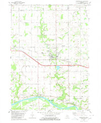
Historical Maps of Eastmanville Through Time
Featured Locations
- Polkton Township, MI
- Tallmadge Charter Township, MI
- Allendale Charter Township, MI
- Chester Township, MI
- Coopersville, MI