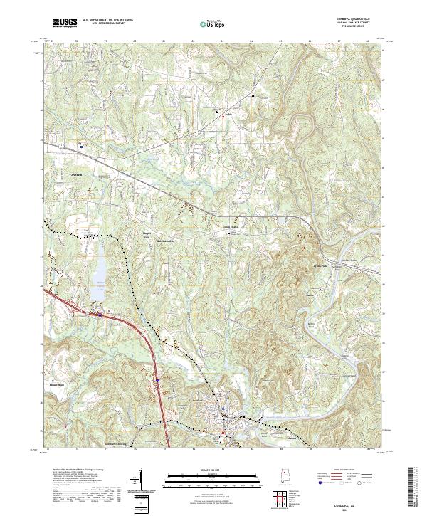
2024 Map of Cordova
USGS Topo · Published 2024About this map
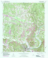
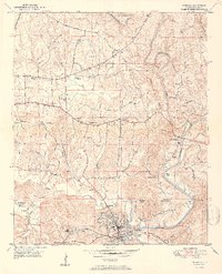
Cordova and its surrounding communities in Walker County are defined by the winding course of the Mulberry Fork, where historical river crossings like Sanderson Ferry and Bartons Ferry once linked isolated settlements. This landscape is a patchwork of small-town centers and rural crossroads, from the industrial imprint near Benoit to the quiet cemeteries that anchor the region's genealogy, such as Boldo Cem and Sardis Cem. The map illustrates how local life is structured around the terrain, with names like Gardiners Gin and Gobblers Crossing hinting at the area's agricultural and social history. The northern reaches near Boldo give way to a network of creeks including Poley Creek and Blackwater Creek, while the centralized Walker County Lake serves as a prominent landmark between the expanding edges of Jasper and the smaller hamlets like Union Chapel.
Find a feature on this map
62 named features on this map. Tap any name to fly to it.
Don’t see what you’re looking for? This feature index may not catch every label — zoom into the map to look around manually.
Map Details
Editions of this 2024 Cordova Map
This is the sole edition of this map. No revisions or reprints were ever made.