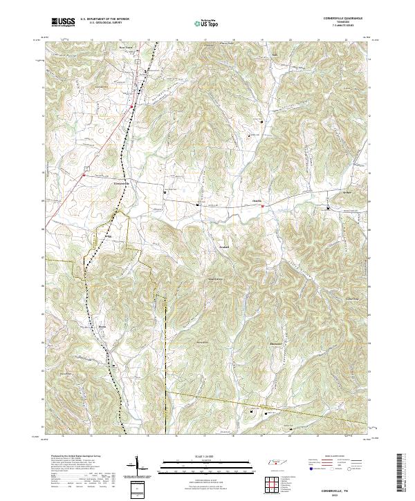
2022 Map of Cornersville
USGS Topo · Published 2022About this map
Cornersville serves as a central hub in this Southern Middle Tennessee landscape, where the borders of Marshall, Giles, and Lincoln counties converge. The terrain is defined by a dense network of hollows and ridges, including Goshen Ridge and Diana Ridge, which dictate the winding paths of rural routes like Old Ostella Rd and Ostella Rd. Smaller settlements such as Graball, Gnat Grove, and Yell are scattered throughout these valleys, often situated near the headwaters of Richland Creek or the many forks of Bradshaw Cr.
Find a feature on this map
134 named features on this map. Tap any name to fly to it.
Don’t see what you’re looking for? This feature index may not catch every label — zoom into the map to look around manually.
Map Details
Editions of this 2022 Cornersville Map
This is the sole edition of this map. No revisions or reprints were ever made.
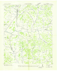
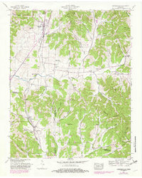
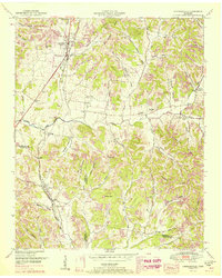
Historical Maps of Diana Through Time
4 maps found