Loading...
Loading map...2022 Map of Cottage Grove
USGS Topo · Published 2022About this map
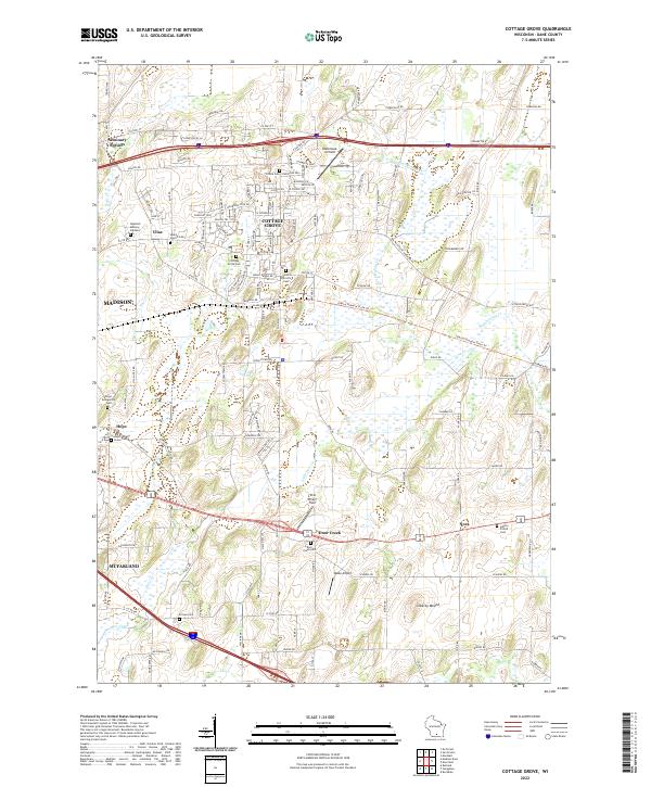
Cottage Grove serves as the central hub of this modern Dane County landscape, where suburban expansion meets long-standing agricultural roots. The map documents a dense network of local heritage sites, including Saint Patrick's Cem and Salem Church Cem, which anchor the smaller communities of Vilas and Nora. The terrain is defined by glacial features, most notably Liberty Mound and the wetlands flanking Koshkonong Cr and Little Door Cr.
Find a feature on this map
146 named features on this map. Tap any name to fly to it.
Don’t see what you’re looking for? This feature index may not catch every label — zoom into the map to look around manually.
Map Details
Date Portrayed2022
Date Published2022
PublisherU.S. Geological Survey
Map TypeTopographic
Scale1:24000
Physical Dimensions24 x 29 inches
Editions of this 2022 Cottage Grove Map
This is the sole edition of this map. No revisions or reprints were ever made.
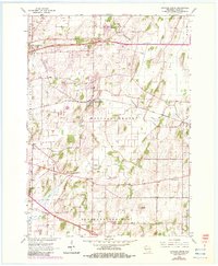
Historical Maps of Madison Through Time
Featured Locations
Source Details
SourceU.S. Geological Survey
CopyrightPublic Domain