Loading...
Loading map...2024 Map of Cusseta
USGS Topo · Published 2024About this map
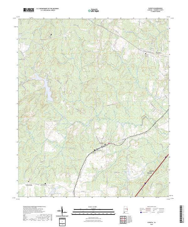
Cusseta and the surrounding rural landscapes of Chambers County are defined by a complex network of creeks and small family or church burial grounds. The settlement at Cusseta is a focal point, flanked by the Cusseta Cem and the Mount Nebo Cem. To the south, Tuckersburg sits near the Galilee Missionary Baptist Church Cem, illustrating the importance of community church sites in organizing this region's geography.
Find a feature on this map
72 named features on this map. Tap any name to fly to it.
Don’t see what you’re looking for? This feature index may not catch every label — zoom into the map to look around manually.
Map Details
Date Portrayed2024
Date Published2024
PublisherU.S. Geological Survey
Map TypeTopographic
Scale1:24000
Physical Dimensions24 x 29 inches
Editions of this 2024 Cusseta Map
This is the sole edition of this map. No revisions or reprints were ever made.
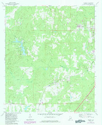
Historical Maps of Tuckersburg Through Time
Featured Locations
Source Details
SourceU.S. Geological Survey
CopyrightPublic Domain