2023 Map of Dayton
USGS Topo · Published 2023About this map
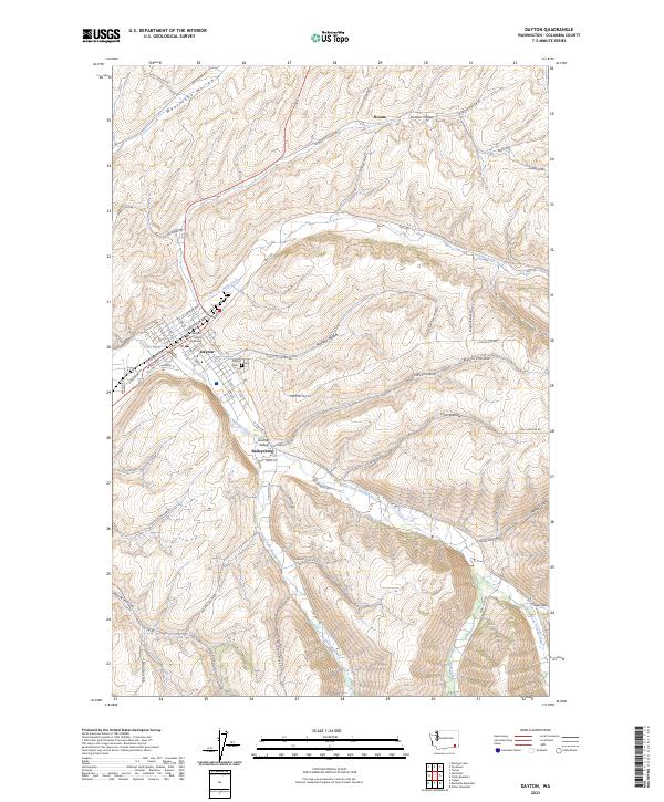
Dayton serves as the focal point of this Columbia County survey, situated at the confluence of Patit Creek and the Touchet River. The town grid is clearly defined, featuring the Columbia County Courthouse and the local Dayton Cem. Downstream, the Lyons Ferry Fish Hatchery marks a significant point of utility along the riverbanks. The surrounding terrain is characterized by a dense network of gulches and hollows, such as Mustard Hollow, Johnson Hollow, and Whetstone Hollow, which dictate the winding paths of rural roads like Smith Hollow Rd and Eckler Mtn Rd.
Find a feature on this map
74 named features on this map. Tap any name to fly to it.
Don’t see what you’re looking for? This feature index may not catch every label — zoom into the map to look around manually.
Map Details
Editions of this 2023 Dayton Map
This is the sole edition of this map. No revisions or reprints were ever made.