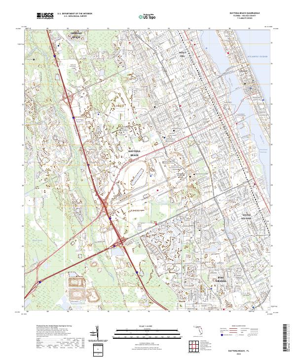
2024 Map of Daytona Beach
USGS Topo · Published 2024About this map
The Halifax River and the Intracoastal Waterway separate the barrier island neighborhood of Seabreeze from the main urban corridor of Daytona Beach. This modern coastal landscape is defined by its extensive aviation and educational infrastructure, notably the Daytona Beach International Airport and the sprawling campuses of Embry-Riddle Aeronautical University and Bethune-Cookman University. The map documents a dense network of major thoroughfares like International Speedway Blvd and Richard Petty Blvd, reflecting the city's deep-rooted automotive identity. Inland, the topography shifts toward the wetlands of Bennett Swamp and the winding course of the Tomoka River. Several significant burial grounds, including Daytona Memorial Park and the Muslim Cem of Volusia County, provide valuable points of reference for local historians and genealogists studying the evolution of this Volusia County community.
Find a feature on this map
51 named features on this map. Tap any name to fly to it.
Don’t see what you’re looking for? This feature index may not catch every label — zoom into the map to look around manually.
Map Details
Editions of this 2024 Daytona Beach Map
This is the sole edition of this map. No revisions or reprints were ever made.
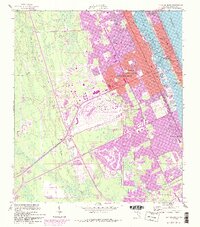
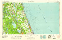
Historical Maps of Ormond Beach Through Time
6 maps found