Loading...
Loading map...2024 Map of Denmark
USGS Topo · Published 2024About this map
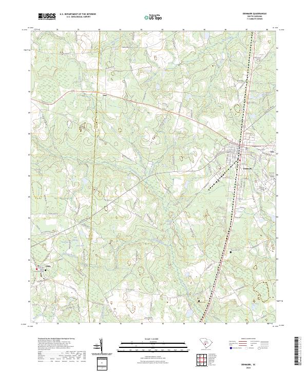
The town of Denmark serves as the primary hub on this South Carolina landscape, where the modern rail corridor of CSX Transportation intersects a network of rural roads such as Old Charleston Hwy. This area is characterized by its educational history, anchored by the campuses of Denmark Technical College and Voorhees College. To the west, the smaller settlement of Hilda is defined by the Hilda First Baptist Church Graveyard, a significant site for local genealogical research.
Find a feature on this map
141 named features on this map. Tap any name to fly to it.
Don’t see what you’re looking for? This feature index may not catch every label — zoom into the map to look around manually.
Map Details
Date Portrayed2024
Date Published2024
PublisherU.S. Geological Survey
Map TypeTopographic
Scale1:24000
Physical Dimensions24 x 29 inches
Editions of this 2024 Denmark Map
This is the sole edition of this map. No revisions or reprints were ever made.
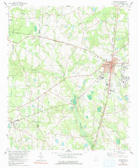
Historical Maps of Denmark Through Time
Featured Locations
Source Details
SourceU.S. Geological Survey
CopyrightPublic Domain