Loading...
Loading map...2022 Map of Dorrance
USGS Topo · Published 2022About this map
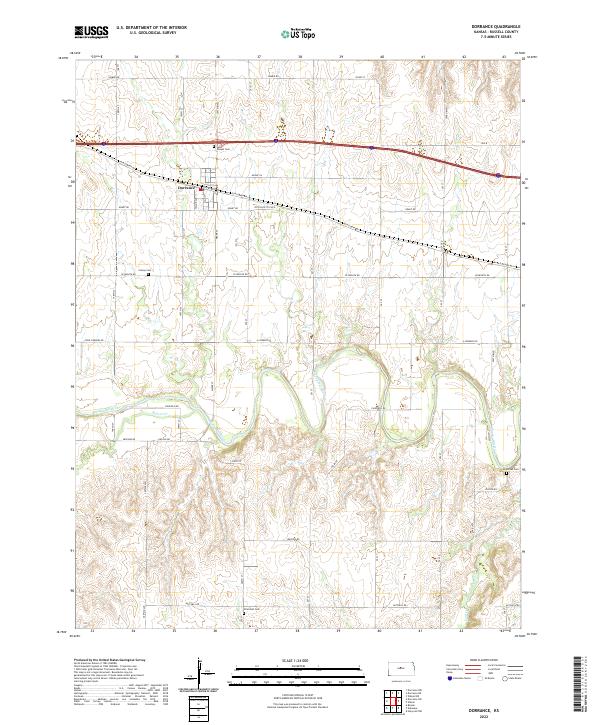
Dorrance serves as the primary hub of this Russell County landscape, where the legacy of early Kansas transportation is visible in the alignment of Old US Hwy 40 and Old 40 Rd. The town layout includes a Post Office and central streets such as Main St, reflecting a compact settlement patterned by the railroad and highway eras. South of town, the terrain is defined by the winding course of the Smoky Hill River, which is fed by tributaries including Beaver Cr and Coal Cr.
Find a feature on this map
32 named features on this map. Tap any name to fly to it.
Don’t see what you’re looking for? This feature index may not catch every label — zoom into the map to look around manually.
Map Details
Date Portrayed2022
Date Published2022
PublisherU.S. Geological Survey
Map TypeTopographic
Scale1:24000
Physical Dimensions24 x 29 inches
Editions of this 2022 Dorrance Map
This is the sole edition of this map. No revisions or reprints were ever made.
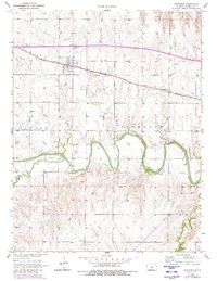
Historical Maps of Dorrance Through Time
Featured Locations
Source Details
SourceU.S. Geological Survey
CopyrightPublic Domain