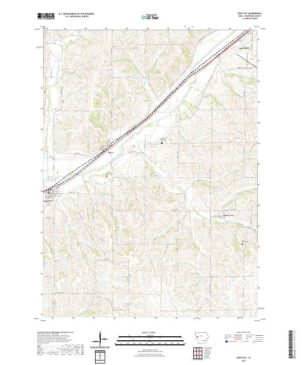
2022 Map of Dow City
USGS Topo · Published 2022About this map
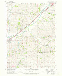
The Boyer River corridor forms the primary geographic axis of this western Iowa landscape, where the towns of Dow City, Arion, and the southern outskirts of Denison developed along the valley floor. The convergence of rail and river routes shaped these settlements, while the surrounding uplands are defined by a network of creeks including Paradise Cr, Willow Cr, and Moser Cr. Genealogists will find several notable burial sites documented, including the Butler Cem, Buck Grove Cem, and the historically significant Crawford County Poor Farm Cem.
Find a feature on this map
52 named features on this map. Tap any name to fly to it.
Don’t see what you’re looking for? This feature index may not catch every label — zoom into the map to look around manually.
Map Details
Editions of this 2022 Dow City Map
This is the sole edition of this map. No revisions or reprints were ever made.