2022 Map of Doyle
USGS Topo · Published 2022About this map
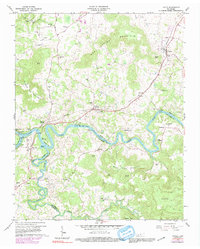
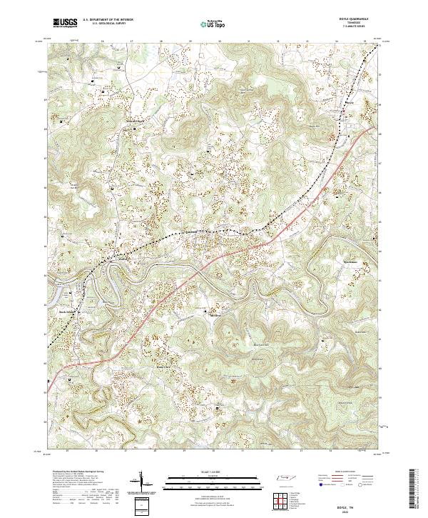
The Caney Fork and Collins River converge near Rock Island, defining a landscape where the plateau meets the river valleys of Middle Tennessee. This area is characterized by significant topographic relief, with prominent heights like Mount Pisgah and Bone Cave Mtn rising above the surrounding lowlands. The settlement patterns reflect a rural heritage centered around small communities such as Quebeck, Walling, and Doyle. The road network preserves historical corridors like the Old Kentucky Rd, which winds through a terrain dotted with numerous family and community burial grounds, including the Old Jericho Cem and Mount Pisgah Cem. Geologic and historical interest is anchored by the Bone Cave area and the various knobs like Tandy Knob and Keener Mtn that overlook the winding creek beds of Laurel Creek and Dry Br.
Find a feature on this map
136 named features on this map. Tap any name to fly to it.
Don’t see what you’re looking for? This feature index may not catch every label — zoom into the map to look around manually.
Map Details
Editions of this 2022 Doyle Map
This is the sole edition of this map. No revisions or reprints were ever made.