Loading...
Loading map...2022 Map of Dunlap
USGS Topo · Published 2022About this map
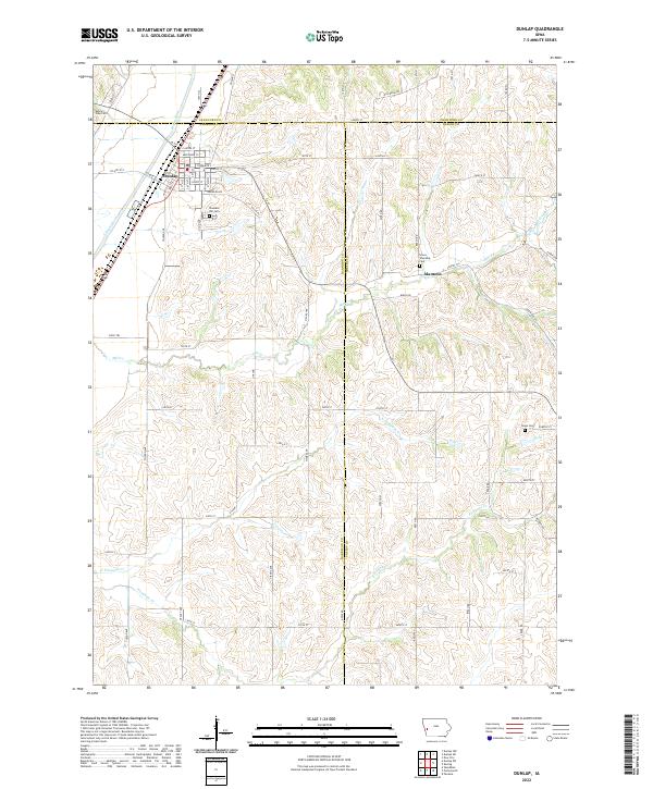
Dunlap anchors the northwest corner of this western Iowa landscape, where the Boyer River cuts through the loess hills of Harrison County. The town's grid is well-defined by streets like Clinton St and Dunlap St, serving as a regional hub near the junction of Crawford and Harrison counties. Further east, the small settlement of Manteno sits along Mill Creek, surrounded by a network of rural roads such as Beech Rd and Birch Rd.
Find a feature on this map
70 named features on this map. Tap any name to fly to it.
Don’t see what you’re looking for? This feature index may not catch every label — zoom into the map to look around manually.
Map Details
Date Portrayed2022
Date Published2022
PublisherU.S. Geological Survey
Map TypeTopographic
Scale1:24000
Physical Dimensions24 x 29 inches
Editions of this 2022 Dunlap Map
This is the sole edition of this map. No revisions or reprints were ever made.
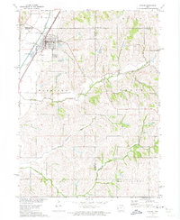
Historical Maps of Dunlap Through Time
Featured Locations
Source Details
SourceU.S. Geological Survey
CopyrightPublic Domain