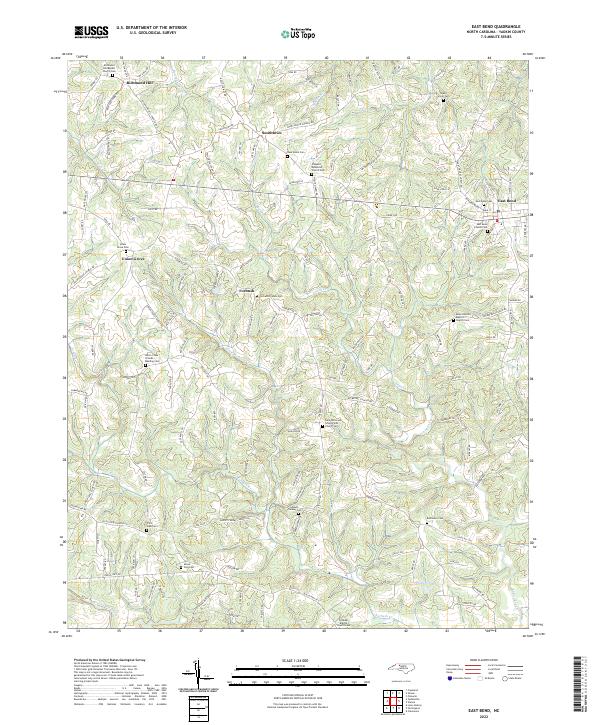
2022 Map of East Bend
USGS Topo · Published 2022About this map
East Bend serves as a primary hub for this Yadkin County landscape, situated atop a ridge system overlooking the deep incisions of Logan Cr and Fall Creek. The terrain is characterized by a dense network of country roads following the high ground, connecting long-established rural communities such as Richmond Hill, Smithtown, and Union Grove. Historically significant sites, particularly those reflecting the area's religious and communal roots, are scattered throughout, including the Union Cross Friends Meeting Cemetery and Mount Bethel Baptist Church. The drainage patterns of Little Forbush Creek and Bowman Mill Creek reveal the undulating topography that has shaped settlement and agriculture in the region for generations. Modern infrastructure intersects with the traditional layout, evidenced by roads like Richmond Hill Church Road and Old US Hwy 421, which bridge the gap between historic hamlets and contemporary access.
Find a feature on this map
146 named features on this map. Tap any name to fly to it.
Don’t see what you’re looking for? This feature index may not catch every label — zoom into the map to look around manually.
Map Details
Editions of this 2022 East Bend Map
This is the sole edition of this map. No revisions or reprints were ever made.
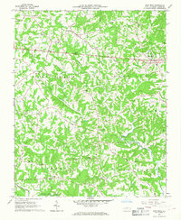
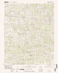
Historical Maps of Forbush Through Time
3 maps found