2022 Map of East Peru
USGS Topo · Published 2022About this map
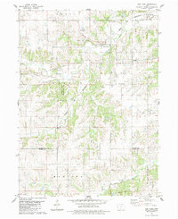
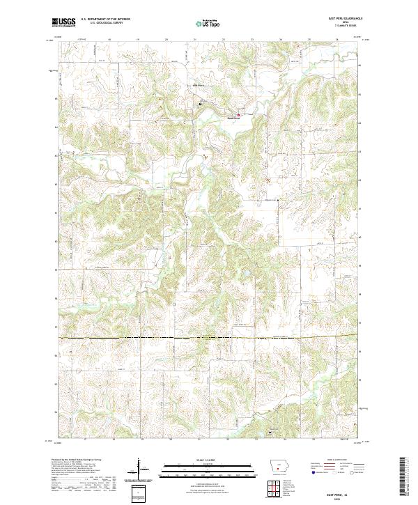
Old Peru and East Peru sit within a landscape deeply carved by the drainage systems of Clanton Cr and its tributaries. This Madison County terrain is defined by the winding paths of the N Fork Clanton Cr and S Fork Clanton Cr, which create a complex network of ridges and valleys. The map illustrates the shift in settlement focus over time, with the established centers and their accompanying burial grounds, such as Peru Cem and the more isolated Ebenezer Cem, providing essential points of reference for local family history. To the south, the landscape crosses into Clarke County at Madison-Clarke St, where Bird Cr and the S River continue the southward flow of water. The grid of country roads, including Peru Rd and Norwood Ave, follows the high ground between the various creek branches, documenting the rural development patterns of this part of southern Iowa.
Find a feature on this map
66 named features on this map. Tap any name to fly to it.
Don’t see what you’re looking for? This feature index may not catch every label — zoom into the map to look around manually.
Map Details
Editions of this 2022 East Peru Map
This is the sole edition of this map. No revisions or reprints were ever made.