Loading...
Loading map...2023 Map of Eaton Rapids
USGS Topo · Published 2023About this map
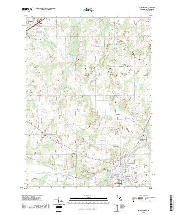
Eaton Rapids sits at the confluence of the Grand River and Spring Brook, serving as a focal point for this section of Eaton County. The landscape is defined by an intricate network of agricultural drainage systems, including the Mills and Prichard Drain and the Skinner Extension Drain, which manage the low-lying terrain surrounding glacial features like Snow Lake and Boggy Lake.
Find a feature on this map
109 named features on this map. Tap any name to fly to it.
Don’t see what you’re looking for? This feature index may not catch every label — zoom into the map to look around manually.
Map Details
Date Portrayed2023
Date Published2023
PublisherU.S. Geological Survey
Map TypeTopographic
Scale1:24000
Physical Dimensions24 x 29 inches
Editions of this 2023 Eaton Rapids Map
This is the sole edition of this map. No revisions or reprints were ever made.
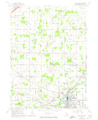
Historical Maps of Benton Township Through Time
Featured Locations
Source Details
SourceU.S. Geological Survey
CopyrightPublic Domain