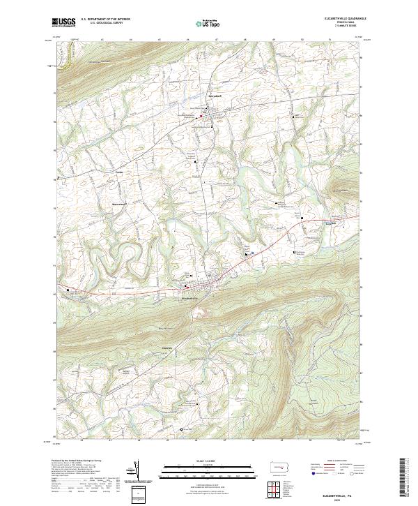
2023 Map of Elizabethville
USGS Topo · Published 2023About this map
The northern reaches of Dauphin County are defined by the rhythmic ridges of Mahantongo Mountain and Berry Mountain, which enclose a valley shaped by the waters of Wiconisco Creek. This landscape of linear ridges and narrow vales has long dictated the layout of small crossroads settlements like Elizabethville and Berrysburg, where the community fabric is tightly woven around local congregations and burial grounds. Many of these sites, such as the Saint Johns Lutheran Church Cem and Peace Church Cem, reflect the persistent identity of the area's early families. The transition from agricultural valley floor to the forested slopes of Broad Mountain is documented here, with features like Harman Airport and the corridor of Railroad Dr illustrating the development of transportation along the base of the mountains. This 2023 survey provides a clear view of the rural infrastructure between the gaps in the northern Appalachians.
Find a feature on this map
153 named features on this map. Tap any name to fly to it.
Don’t see what you’re looking for? This feature index may not catch every label — zoom into the map to look around manually.
Map Details
Editions of this 2023 Elizabethville Map
This is the sole edition of this map. No revisions or reprints were ever made.
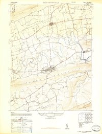
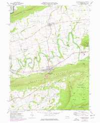
Historical Maps of Dietrich Through Time
3 maps found
Featured Locations
- Elizabethville, PA
- Mifflin Township, PA
- Wiconisco Township, PA
- Lower Mahanoy Township, PA
- Berrysburg, Mifflin Township