2021 Map of Emerson
USGS Topo · Published 2021About this map
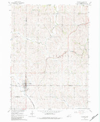
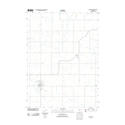
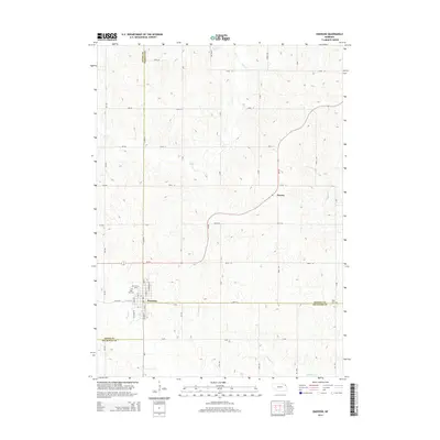
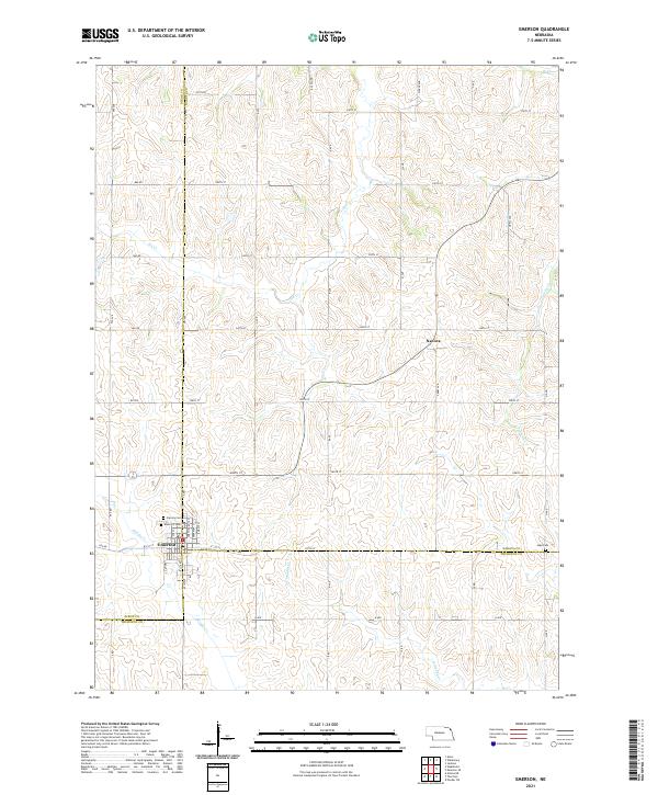
The town of Emerson sits at the convergence of three counties in northeastern Nebraska, serving as a hub for the surrounding agricultural landscape. This survey illustrates the town's grid and its proximity to essential local landmarks including Rose Hill Cem and Calvary Cem, both located on the western edge of the community. The terrain is defined by the drainages of Middle Creek and North Omaha Creek, which shape the rolling contours of the prairie. To the northeast, the smaller settlement of Nacora is visible, linked to the larger regional network by a structured grid of rural roads such as 250th St and B Ave. Farther east near the county line, the Jopp Cem marks a distinct point of local history. This layout reveals the enduring rural organization of the region, where township and range lines dictate the placement of farms and cemeteries.
Find a feature on this map
32 named features on this map. Tap any name to fly to it.
Don’t see what you’re looking for? This feature index may not catch every label — zoom into the map to look around manually.
Map Details
Editions of this 2021 Emerson Map
This is the sole edition of this map. No revisions or reprints were ever made.
Historical Maps of Emerson Through Time
5 maps found