2022 Map of Emmetsburg
USGS Topo · Published 2022About this map
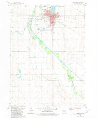
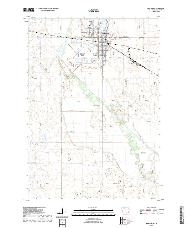
The county seat of Emmetsburg dominates the northern portion of this Palo Alto County landscape, centered around the Palo Alto County Courthouse. The town’s orderly street grid, featuring names like Broadway St and Main St, gives way to the winding course of the Des Moines River as it flows southeast toward the bottom of the sheet. This riparian corridor is marked by shifting hydrology, evident in the presence of an Old Channel and the Bushy Bayou, illustrating the natural movement of the waterway over time.
Find a feature on this map
84 named features on this map. Tap any name to fly to it.
Don’t see what you’re looking for? This feature index may not catch every label — zoom into the map to look around manually.
Map Details
Editions of this 2022 Emmetsburg Map
This is the sole edition of this map. No revisions or reprints were ever made.