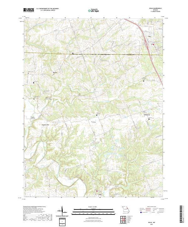
2021 Map of Eolia
USGS Topo · Published 2021About this map
Eolia and Whiteside anchor the eastern corridor of this Missouri landscape, where the agricultural plains of Pike County meet the more intricate drainage systems of the North Fork Cuivre River. This area is characterized by a high density of family and community burial grounds, including the Lewis Meriwether Cem and Copenhagen Cem, which serve as vital markers for local genealogical research. The terrain is defined by Pea Ridge and numerous water features, including a series of numbered lakes and the William Logan State Wildlife Area Lake. Notable geological and structural landmarks such as the Sandy Creek Natural Bridge and Reynolds Ford Bridge highlight the intersection of natural curiosities and early transport crossings. Smaller historic hubs like Hobart and Hopkinsville appear alongside family-named landmarks like the Corner Stone Cem, reflecting a deeply rooted rural settlement pattern preserved in the early twenty-first century.
Find a feature on this map
57 named features on this map. Tap any name to fly to it.
Don’t see what you’re looking for? This feature index may not catch every label — zoom into the map to look around manually.
Map Details
Editions of this 2021 Eolia Map
This is the sole edition of this map. No revisions or reprints were ever made.