Loading...
Loading map...2022 Map of Evergreen
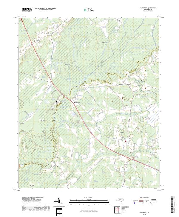
USGS Topo · Published 2022About this map
The Lumber River and its dense network of canals and sloughs dominate this landscape along the border of Robeson and Columbus counties. The settlements of Boardman and Evergreen serve as the primary hubs, connected by a network of rural roads such as Old Hwy 74 and Old Boardman Rd. The terrain is characterized by a complex system of "bays" and ridges, including Pea Ridge and Big Sandy Ridge, which rise above the surrounding wetlands like White Oak Swamp and Flowers Swamp.
Find a feature on this map
84 named features on this map. Tap any name to fly to it.
Don’t see what you’re looking for? This feature index may not catch every label — zoom into the map to look around manually.
Map Details
Date Portrayed2022
Date Published2022
PublisherU.S. Geological Survey
Map TypeTopographic
Scale1:24000
Physical Dimensions24 x 29 inches
Editions of this 2022 Evergreen Map
This is the sole edition of this map. No revisions or reprints were ever made.
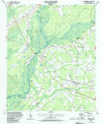
Historical Maps of Evergreen Through Time
Featured Locations
Source Details
SourceU.S. Geological Survey
CopyrightPublic Domain