Loading...
Loading map...2021 Map of Fort Bridger
USGS Topo · Published 2021About this map
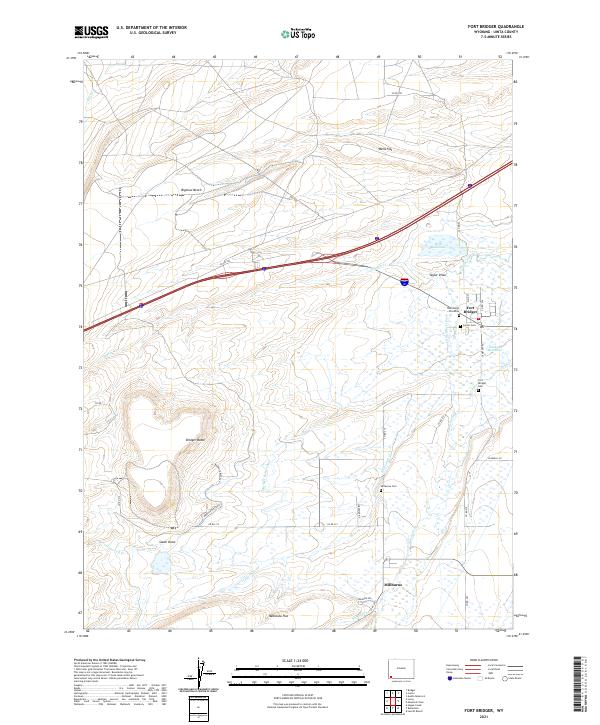
Fort Bridger stands as the central landmark of this Uinta County landscape, situated at the junction of the Blacks Fork and Little Blacks Fork rivers. The settlement's historical significance is grounded by the Thornburgh Gravesite and nearby Carter Cem, reflecting a deep genealogical record of this Wyoming frontier outpost. The terrain is defined by dramatic elevations like Bridger Butte and the broad expanses of Bigelow Bench and Wells Flat.
Find a feature on this map
45 named features on this map. Tap any name to fly to it.
Don’t see what you’re looking for? This feature index may not catch every label — zoom into the map to look around manually.
Map Details
Date Portrayed2021
Date Published2021
PublisherU.S. Geological Survey
Map TypeTopographic
Scale1:24000
Physical Dimensions24 x 29 inches
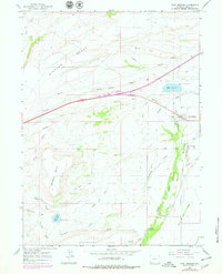
Editions of this 2021 Fort Bridger Map
This is the sole edition of this map. No revisions or reprints were ever made.
Historical Maps of Millburne Through Time
Featured Locations
Source Details
SourceU.S. Geological Survey
CopyrightPublic Domain